Distance to Rantoul, Kansas

Calculating Your Route
Just a moment while we process your request...
Location Information
-
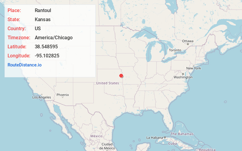
Full AddressRantoul, KS 66079
-
Coordinates38.5485949, -95.1028247
-
LocationRantoul , Kansas , US
-
TimezoneAmerica/Chicago
-
Current Local Time5:14:58 PM America/ChicagoSaturday, May 31, 2025
-
Page Views0
About Rantoul
Rantoul is a city in Franklin County, Kansas, United States. As of the 2020 census, the population of the city was 165.
Nearby Places
Found 10 places within 50 miles

Lane
7.6 mi
12.2 km
Lane, KS 66042
Get directions

Osawatomie
9.0 mi
14.5 km
Osawatomie, KS
Get directions

Ottawa
10.1 mi
16.3 km
Ottawa, KS 66067
Get directions

Princeton
10.2 mi
16.4 km
Princeton, KS 66078
Get directions

Wellsville
11.8 mi
19.0 km
Wellsville, KS 66092
Get directions

Paola
12.2 mi
19.6 km
Paola, KS 66071
Get directions
Greeley
12.6 mi
20.3 km
Greeley, KS 66033
Get directions
Richmond
13.0 mi
20.9 km
Richmond, KS 66080
Get directions

Hillsdale
15.7 mi
25.3 km
Hillsdale, KS 66071
Get directions

Edgerton
15.8 mi
25.4 km
Edgerton, KS
Get directions
Location Links
Local Weather
Weather Information
Coming soon!
Location Map
Static map view of Rantoul, Kansas
Browse Places by Distance
Places within specific distances from Rantoul
Short Distances
Long Distances
Click any distance to see all places within that range from Rantoul. Distances shown in miles (1 mile ≈ 1.61 kilometers).