Distance to Ceresco, Michigan

Calculating Your Route
Just a moment while we process your request...
Location Information
-
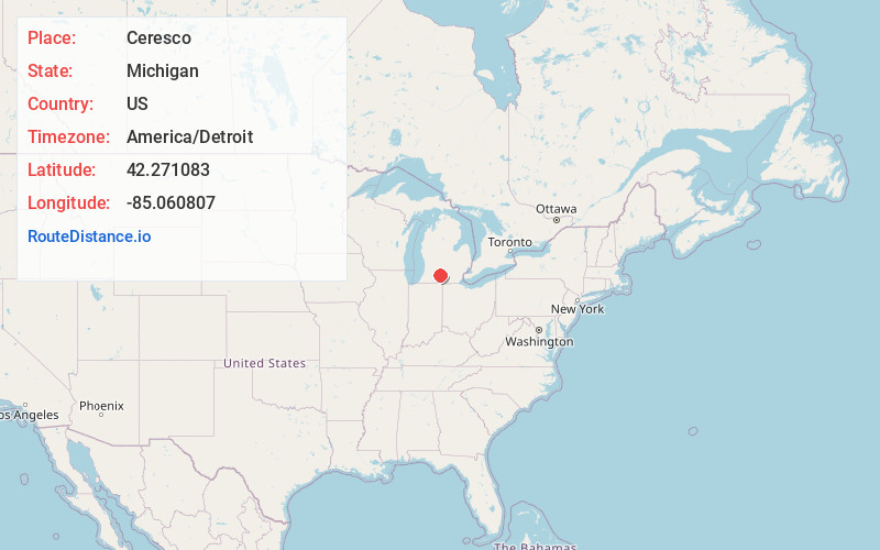
Full AddressCeresco, MI
-
Coordinates42.2710828, -85.0608073
-
LocationCeresco , Michigan , US
-
TimezoneAmerica/Detroit
-
Current Local Time2:25:39 AM America/DetroitTuesday, July 1, 2025
-
Page Views0
About Ceresco
Ceresco is a small unincorporated community in Calhoun County in the U.S. state of Michigan. Ceresco is situated on the Kalamazoo River approximately five miles west of downtown Marshall.


Nearby Places
Found 10 places within 50 miles

Wattles Park
3.3 mi
5.3 km
Wattles Park, Emmett Township, MI 49014
Get directions

Marshall
5.0 mi
8.0 km
Marshall, MI 49068
Get directions
Brownlee Park
5.3 mi
8.5 km
Brownlee Park, MI
Get directions
Sunrise Heights
6.1 mi
9.8 km
Sunrise Heights, Emmett Township, MI 49014
Get directions
Walnut Point
6.7 mi
10.8 km
Walnut Point, Convis Township, MI 49068
Get directions

Battle Creek
7.0 mi
11.3 km
Battle Creek, MI
Get directions
Sonoma
9.0 mi
14.5 km
Sonoma, Leroy Township, MI 49051
Get directions
Joppa
9.9 mi
15.9 km
Joppa, Leroy Township, MI 49051
Get directions

Springfield
9.9 mi
15.9 km
Springfield, MI
Get directions

Marengo
10.9 mi
17.5 km
Marengo, MI 49224
Get directions
Location Links
Local Weather
Weather Information
Coming soon!
Location Map
Static map view of Ceresco, Michigan
Browse Places by Distance
Places within specific distances from Ceresco
Short Distances
Long Distances
Click any distance to see all places within that range from Ceresco. Distances shown in miles (1 mile ≈ 1.61 kilometers).