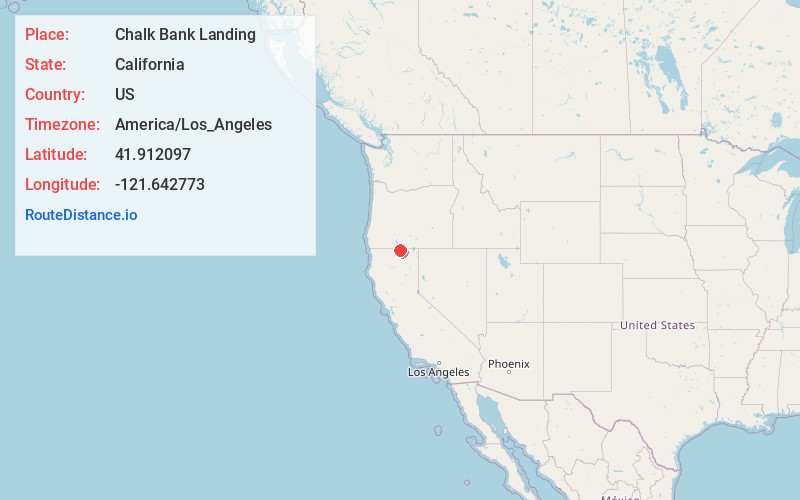
Distance to Chalk Bank Landing, California

Calculating Your Route
Just a moment while we process your request...
Location Information
-
Full AddressChalk Bank Landing, CA 96023
-
Coordinates41.9120973, -121.6427731
-
LocationChalk Bank Landing , California , US
-
TimezoneAmerica/Los_Angeles
-
Current Local Time7:38:34 PM America/Los_AngelesWednesday, July 2, 2025
-
Page Views0
Nearby Places
Found 10 places within 50 miles

Laird Landing
5.0 mi
8.0 km
Laird Landing, CA 96023
Get directions

Merrill
8.1 mi
13.0 km
Merrill, OR
Get directions

Canby Cross
8.2 mi
13.2 km
Canby Cross, CA 96134
Get directions
Malone
8.6 mi
13.8 km
Malone, OR 97633
Get directions
Hatfield
8.7 mi
14.0 km
Hatfield, CA 96134
Get directions

Tulelake
9.0 mi
14.5 km
Tulelake, CA 96134
Get directions
Tuber
10.0 mi
16.1 km
Tuber, CA 96134
Get directions
Dalton
11.7 mi
18.8 km
Dalton, CA 96134
Get directions
Stronghold
12.5 mi
20.1 km
Stronghold, CA 96134
Get directions
Liskey
12.8 mi
20.6 km
Liskey, CA 96134
Get directions
Location Links
Local Weather
Weather Information
Coming soon!
Location Map
Static map view of Chalk Bank Landing, California
Browse Places by Distance
Places within specific distances from Chalk Bank Landing
Short Distances
Long Distances
Click any distance to see all places within that range from Chalk Bank Landing. Distances shown in miles (1 mile ≈ 1.61 kilometers).