Distance to Chamberlain, Minnesota

Calculating Your Route
Just a moment while we process your request...
Location Information
-
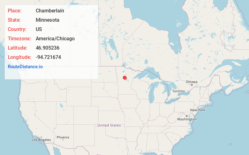
Full AddressChamberlain, MN 56433
-
Coordinates46.9052364, -94.7216739
-
LocationChamberlain , Minnesota , US
-
TimezoneAmerica/Chicago
-
Current Local Time9:04:06 AM America/ChicagoWednesday, June 18, 2025
-
Page Views0
About Chamberlain
Chamberlain is an unincorporated community in White Oak Township, Hubbard County, Minnesota, United States, near Akeley and Hackensack.
The community is along State Highway 64 near Hubbard County Road 119 and 170th Street. It is seven miles south of Akeley.
Nearby Places
Found 10 places within 50 miles

Badoura
2.2 mi
3.5 km
Badoura, Nevis, MN 56467
Get directions

Akeley
6.8 mi
10.9 km
Akeley, MN 56433
Get directions

Nevis
6.9 mi
11.1 km
Nevis, MN 56467
Get directions

Hackensack
9.7 mi
15.6 km
Hackensack, MN 56452
Get directions

Backus
11.3 mi
18.2 km
Backus, MN 56435
Get directions

Dorset
11.5 mi
18.5 km
Dorset, MN 56470
Get directions

Huntersville
12.1 mi
19.5 km
Huntersville, MN 56464
Get directions
Ah-gwah-ching
13.9 mi
22.4 km
Ah-gwah-ching, MN 56484
Get directions

Walker
15.0 mi
24.1 km
Walker, MN
Get directions
Deer Lane
15.3 mi
24.6 km
Deer Lane, MN 56470
Get directions
Location Links
Local Weather
Weather Information
Coming soon!
Location Map
Static map view of Chamberlain, Minnesota
Browse Places by Distance
Places within specific distances from Chamberlain
Short Distances
Long Distances
Click any distance to see all places within that range from Chamberlain. Distances shown in miles (1 mile ≈ 1.61 kilometers).