Distance to Chandlers Chapel, Kentucky

Calculating Your Route
Just a moment while we process your request...
Location Information
-
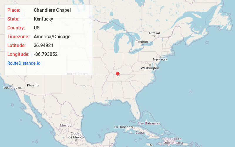
Full AddressChandlers Chapel, KY 42206
-
Coordinates36.9492096, -86.7930515
-
LocationKentucky , US
-
TimezoneAmerica/Chicago
-
Current Local Time6:07:00 PM America/ChicagoFriday, June 20, 2025
-
Page Views0
About Chandlers Chapel
Chandlers Chapel is an unincorporated community located in Logan County, Kentucky, United States.
The David Sawyer House, built in 1814 near Chandlers Chapel, has been listed on the National Register of Historic Places.
Nearby Places
Found 10 places within 50 miles

Homer
2.7 mi
4.3 km
Homer, KY 42276
Get directions
Gasper
2.8 mi
4.5 km
Gasper, KY 42206
Get directions
Costelow
3.2 mi
5.1 km
Costelow, KY 42276
Get directions
Cooperstown
5.4 mi
8.7 km
Cooperstown, KY 42276
Get directions
Richelieu
6.8 mi
10.9 km
Richelieu, KY 42261
Get directions
Dennis
7.4 mi
11.9 km
Dennis, KY 42206
Get directions

Auburn
7.4 mi
11.9 km
Auburn, KY 42206
Get directions
Buffalo Fork
7.5 mi
12.1 km
Buffalo Fork, KY 42274
Get directions
Davis Crossroads
7.6 mi
12.2 km
Davis Crossroads, KY 42261
Get directions
Edwards
8.2 mi
13.2 km
Edwards, KY 42276
Get directions
Location Links
Local Weather
Weather Information
Coming soon!
Location Map
Static map view of Chandlers Chapel, Kentucky
Browse Places by Distance
Places within specific distances from Chandlers Chapel
Short Distances
Long Distances
Click any distance to see all places within that range from Chandlers Chapel. Distances shown in miles (1 mile ≈ 1.61 kilometers).