Distance to Chapel Hill, Alabama

Calculating Your Route
Just a moment while we process your request...
Location Information
-
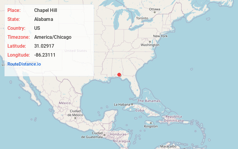
Full AddressChapel Hill, AL 36442
-
Coordinates31.02917, -86.23111
-
LocationChapel Hill , Alabama , US
-
TimezoneAmerica/Chicago
-
Current Local Time2:42:29 PM America/ChicagoFriday, June 6, 2025
-
Page Views0
About Chapel Hill
Chapel Hill is an unincorporated community in Covington County, Alabama, United States, located on State Route 54, northeast of Florala.
Nearby Places
Found 10 places within 50 miles

Howells
2.1 mi
3.4 km
Howells, AL 36442
Get directions
McRae
2.7 mi
4.3 km
McRae, AL 36442
Get directions
Hacoda
5.0 mi
8.0 km
Hacoda, AL 36453
Get directions
Stedman
5.2 mi
8.4 km
Stedman, AL 36442
Get directions

Paxton
5.6 mi
9.0 km
Paxton, FL 32567
Get directions

Florala
6.0 mi
9.7 km
Florala, AL 36442
Get directions
Gaskin
6.9 mi
11.1 km
Gaskin, FL 32433
Get directions

Lockhart
7.1 mi
11.4 km
Lockhart, AL 36442
Get directions
Flowersville
8.2 mi
13.2 km
Flowersville, FL 32567
Get directions
Earlytown
9.1 mi
14.6 km
Earlytown, AL 36453
Get directions
Location Links
Local Weather
Weather Information
Coming soon!
Location Map
Static map view of Chapel Hill, Alabama
Browse Places by Distance
Places within specific distances from Chapel Hill
Short Distances
Long Distances
Click any distance to see all places within that range from Chapel Hill. Distances shown in miles (1 mile ≈ 1.61 kilometers).