Distance to Chapel, West Virginia

Calculating Your Route
Just a moment while we process your request...
Location Information
-
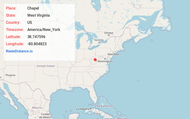
Full AddressChapel, WV 26624
-
Coordinates38.7475963, -80.8048233
-
LocationChapel , West Virginia , US
-
TimezoneAmerica/New_York
-
Current Local Time5:38:21 PM America/New_YorkWednesday, June 18, 2025
-
Page Views0
About Chapel
Chapel is an unincorporated community in Braxton County, West Virginia, United States. Chapel is 5.5 miles north-northwest of Gassaway, along the Left Fork Steer Creek.
Nearby Places
Found 10 places within 50 miles

Pembroke
3.8 mi
6.1 km
Pembroke, WV 26624
Get directions
Moss Run
4.2 mi
6.8 km
Moss Run, West Virginia 26619
Get directions
Belfont
4.4 mi
7.1 km
Belfont, WV 26624
Get directions
Little Otter Creek
5.3 mi
8.5 km
Little Otter Creek, West Virginia 26624
Get directions

Gassaway
5.4 mi
8.7 km
Gassaway, WV 26624
Get directions
Braxton County
5.5 mi
8.9 km
Braxton County, WV
Get directions
Lloydsville
5.5 mi
8.9 km
Lloydsville, WV 26619
Get directions
Flower
6.0 mi
9.7 km
Flower, WV 26611
Get directions
Wilsie
6.1 mi
9.8 km
Wilsie, WV 26623
Get directions
Bonnie
6.2 mi
10.0 km
Bonnie, WV 26335
Get directions
Location Links
Local Weather
Weather Information
Coming soon!
Location Map
Static map view of Chapel, West Virginia
Browse Places by Distance
Places within specific distances from Chapel
Short Distances
Long Distances
Click any distance to see all places within that range from Chapel. Distances shown in miles (1 mile ≈ 1.61 kilometers).