Distance to Flower, West Virginia

Calculating Your Route
Just a moment while we process your request...
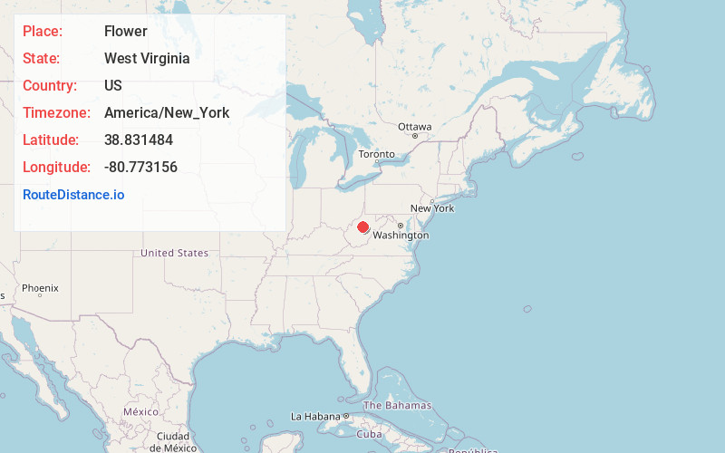
Location Information
-
Full AddressFlower, WV 26611
-
Coordinates38.8314835, -80.7731559
-
LocationFlower , West Virginia , US
-
TimezoneAmerica/New_York
-
Current Local Time8:24:13 PM America/New_YorkWednesday, July 2, 2025
-
Page Views0
About Flower
Flower is an unincorporated community in Braxton County, West Virginia, United States. Flower is 6.5 miles west-southwest of Burnsville.
The community was formerly known as Waldeck.
Nearby Places
Found 10 places within 50 miles

Copen
2.4 mi
3.9 km
Copen, WV 26615
Get directions
Bower
3.4 mi
5.5 km
Bower, WV 26615
Get directions
Gilmer
4.5 mi
7.2 km
Gilmer, WV 26351
Get directions
Gem
5.7 mi
9.2 km
Gem, WV 26335
Get directions
Sand Fork
5.8 mi
9.3 km
Sand Fork, WV
Get directions

Burnsville
6.6 mi
10.6 km
Burnsville, WV
Get directions
Moss Run
7.1 mi
11.4 km
Moss Run, West Virginia 26619
Get directions
Lloydsville
7.4 mi
11.9 km
Lloydsville, WV 26619
Get directions
Pembroke
7.6 mi
12.2 km
Pembroke, WV 26624
Get directions
Rollyson
7.9 mi
12.7 km
Rollyson, WV 26621
Get directions
Location Links
Local Weather
Weather Information
Coming soon!
Location Map
Static map view of Flower, West Virginia
Browse Places by Distance
Places within specific distances from Flower
Short Distances
Long Distances
Click any distance to see all places within that range from Flower. Distances shown in miles (1 mile ≈ 1.61 kilometers).