Distance to Chapin, Missouri

Calculating Your Route
Just a moment while we process your request...
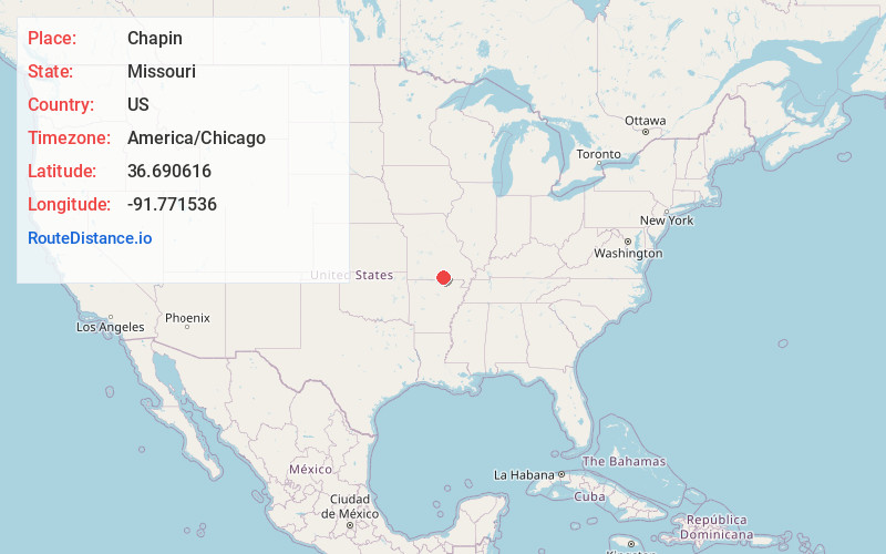
Location Information
-
Full AddressChapin, Howell Township, MO 65775
-
Coordinates36.6906159, -91.7715359
-
LocationHowell Township , Missouri , US
-
TimezoneAmerica/Chicago
-
Current Local Time6:18:42 AM America/ChicagoSunday, June 22, 2025
-
Page Views0
Nearby Places
Found 10 places within 50 miles

West Plains
5.2 mi
8.4 km
West Plains, MO 65775
Get directions

Brandsville
5.3 mi
8.5 km
Brandsville, MO 65775
Get directions

Cull
5.5 mi
8.9 km
Cull, Howell Township, MO 65775
Get directions
Fanchon
8.2 mi
13.2 km
Fanchon, Sisson Township, MO 65788
Get directions
Elliot Ford
8.5 mi
13.7 km
Elliot Ford, Big Apple Township, MO 65692
Get directions
Rover
8.6 mi
13.8 km
Rover, MO 65775
Get directions

Koshkonong
9.6 mi
15.4 km
Koshkonong, MO 65692
Get directions

Peace Valley
10.4 mi
16.7 km
Peace Valley, MO
Get directions
White Church
11.1 mi
17.9 km
White Church, MO 65775
Get directions
South Fork
11.4 mi
18.3 km
South Fork, MO 65775
Get directions
Location Links
Local Weather
Weather Information
Coming soon!
Location Map
Static map view of Chapin, Missouri
Browse Places by Distance
Places within specific distances from Chapin
Short Distances
Long Distances
Click any distance to see all places within that range from Chapin. Distances shown in miles (1 mile ≈ 1.61 kilometers).