Distance to Peace Valley, Missouri

Calculating Your Route
Just a moment while we process your request...
Location Information
-
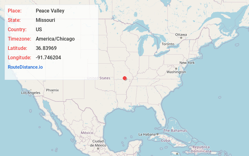
Full AddressPeace Valley, MO
-
Coordinates36.8396898, -91.7462041
-
LocationPeace Valley , Missouri , US
-
TimezoneAmerica/Chicago
-
Current Local Time7:37:34 PM America/ChicagoSunday, June 1, 2025
-
Page Views0
About Peace Valley
Peace Valley is a small unincorporated community in eastern Howell County, Missouri, United States. It is located approximately two miles east of Route 17 on Route W.
A post office called Peace Valley has been in operation since 1876. The community has the name of Elgin and William Peace, pioneer settlers.

Nearby Places
Found 10 places within 50 miles

White Church
2.3 mi
3.7 km
White Church, MO 65775
Get directions
Fanchon
4.0 mi
6.4 km
Fanchon, Sisson Township, MO 65788
Get directions
Chapel
7.7 mi
12.4 km
Chapel, MO 65548
Get directions

Cull
8.5 mi
13.7 km
Cull, Howell Township, MO 65775
Get directions
Olden
9.1 mi
14.6 km
Olden, Dry Creek Township, MO 65789
Get directions

Pomona
9.5 mi
15.3 km
Pomona, MO 65789
Get directions

West Plains
9.7 mi
15.6 km
West Plains, MO 65775
Get directions
Trask
10.0 mi
16.1 km
Trask, Hutton Valley Township, MO 65548
Get directions
Rover
10.7 mi
17.2 km
Rover, MO 65775
Get directions

Mountain View
11.0 mi
17.7 km
Mountain View, MO 65548
Get directions
Location Links
Local Weather
Weather Information
Coming soon!
Location Map
Static map view of Peace Valley, Missouri
Browse Places by Distance
Places within specific distances from Peace Valley
Short Distances
Long Distances
Click any distance to see all places within that range from Peace Valley. Distances shown in miles (1 mile ≈ 1.61 kilometers).