Distance to Pomona, Missouri

Calculating Your Route
Just a moment while we process your request...
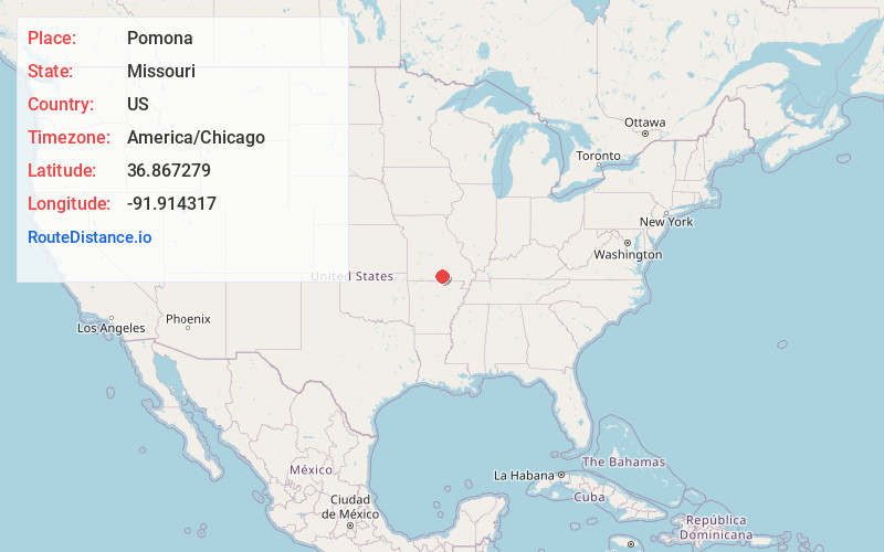
Location Information
-
Full AddressPomona, MO 65789
-
Coordinates36.8672793, -91.914317
-
LocationPomona , Missouri , US
-
TimezoneAmerica/Chicago
-
Current Local Time8:15:33 PM America/ChicagoSunday, June 22, 2025
-
Page Views0
About Pomona
Pomona is an unincorporated community and census-designated place in Howell County, Missouri, United States. It is located midway between Willow Springs and West Plains. As of the 2010 census, Pomona had a population of 511.
A post office called Pomona has been in operation since 1895.


Nearby Places
Found 10 places within 50 miles

Willow Springs
9.2 mi
14.8 km
Willow Springs, MO 65793
Get directions

West Plains
10.2 mi
16.4 km
West Plains, MO 65775
Get directions

Mountain View
14.6 mi
23.5 km
Mountain View, MO 65548
Get directions

Cabool
20.5 mi
33.0 km
Cabool, MO 65689
Get directions

Birch Tree
24.8 mi
39.9 km
Birch Tree, MO 65438
Get directions

Summersville
25.8 mi
41.5 km
Summersville, MO 65571
Get directions

Mountain Grove
26.5 mi
42.6 km
Mountain Grove, MO 65711
Get directions

Alton
30.9 mi
49.7 km
Alton, MO 65606
Get directions

Thayer
31.7 mi
51.0 km
Thayer, MO 65791
Get directions

Houston
31.8 mi
51.2 km
Houston, MO 65483
Get directions
Location Links
Local Weather
Weather Information
Coming soon!
Location Map
Static map view of Pomona, Missouri
Browse Places by Distance
Places within specific distances from Pomona
Short Distances
Long Distances
Click any distance to see all places within that range from Pomona. Distances shown in miles (1 mile ≈ 1.61 kilometers).