Distance to Chapman, Alabama

Calculating Your Route
Just a moment while we process your request...
Location Information
-
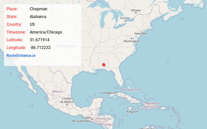
Full AddressChapman, AL
-
Coordinates31.6719137, -86.7122318
-
LocationChapman , Alabama , US
-
TimezoneAmerica/Chicago
-
Current Local Time6:52:50 PM America/ChicagoTuesday, May 20, 2025
-
Page Views0
About Chapman
Chapman is an unincorporated community in Butler County, Alabama, United States. Chapman is located on County Route 37, 2.9 miles west-northwest of Georgiana. Chapman has a post office with ZIP code 36015.
Nearby Places
Found 10 places within 50 miles

Georgiana
3.0 mi
4.8 km
Georgiana, AL 36033
Get directions

Bolling
3.7 mi
6.0 km
Bolling, AL 36033
Get directions
Shell
6.0 mi
9.7 km
Shell, AL 36033
Get directions
Wald
6.5 mi
10.5 km
Wald, AL 36037
Get directions
Rhodes
6.6 mi
10.6 km
Rhodes, AL 36456
Get directions
Starlington
6.6 mi
10.6 km
Starlington, AL 36033
Get directions
Industry
7.5 mi
12.1 km
Industry, AL 36033
Get directions

McKenzie
9.0 mi
14.5 km
McKenzie, AL 36456
Get directions
Shacklesville
9.6 mi
15.4 km
Shacklesville, AL 36033
Get directions
Odom Crossroads
10.2 mi
16.4 km
Odom Crossroads, AL 36456
Get directions
Location Links
Local Weather
Weather Information
Coming soon!
Location Map
Static map view of Chapman, Alabama
Browse Places by Distance
Places within specific distances from Chapman
Short Distances
Long Distances
Click any distance to see all places within that range from Chapman. Distances shown in miles (1 mile ≈ 1.61 kilometers).