Distance to Chapman, Kentucky

Calculating Your Route
Just a moment while we process your request...
Location Information
-
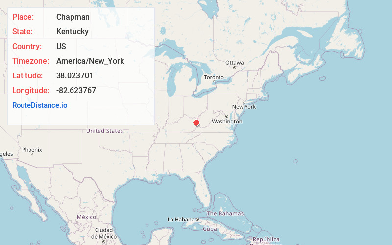
Full AddressChapman, KY 41230
-
Coordinates38.0237014, -82.623767
-
LocationKentucky , US
-
TimezoneAmerica/New_York
-
Current Local Time3:41:35 PM America/New_YorkFriday, June 20, 2025
-
Page Views0
About Chapman
Chapman is an unincorporated community located in Lawrence County, Kentucky, United States on the eastern bank of the Levisa Fork River. It is served by KY Route 2037.
Nearby Places
Found 10 places within 50 miles

Gallup
0.7 mi
1.1 km
Gallup, KY 41230
Get directions
Ben Bow
3.8 mi
6.1 km
Ben Bow, KY 41230
Get directions
Ledocio
4.9 mi
7.9 km
Ledocio, KY 41230
Get directions
Clifford
5.5 mi
8.9 km
Clifford, KY 41230
Get directions
Noris
5.5 mi
8.9 km
Noris, KY 41230
Get directions
Richardson
5.6 mi
9.0 km
Richardson, KY 41230
Get directions
Glenhayes
5.6 mi
9.0 km
Glenhayes, WV 25514
Get directions
Peach Orchard
5.7 mi
9.2 km
Peach Orchard, KY 41230
Get directions
Charley
5.7 mi
9.2 km
Charley, KY 41230
Get directions
Saltpetre
5.8 mi
9.3 km
Saltpetre, WV 25514
Get directions
Location Links
Local Weather
Weather Information
Coming soon!
Location Map
Static map view of Chapman, Kentucky
Browse Places by Distance
Places within specific distances from Chapman
Short Distances
Long Distances
Click any distance to see all places within that range from Chapman. Distances shown in miles (1 mile ≈ 1.61 kilometers).