Distance to Charlotte, Arkansas

Calculating Your Route
Just a moment while we process your request...
Location Information
-
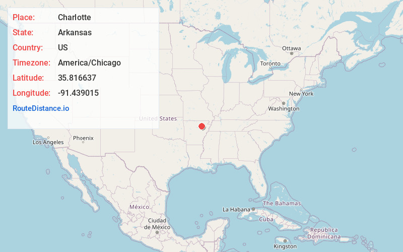
Full AddressCharlotte, AR
-
Coordinates35.8166368, -91.4390149
-
LocationCharlotte , Arkansas , US
-
TimezoneAmerica/Chicago
-
Current Local Time4:45:57 PM America/ChicagoWednesday, June 18, 2025
-
Page Views0
About Charlotte
Charlotte is an unincorporated community in Independence County, Arkansas, United States. Charlotte is located on Highway 25S, 12 miles east-northeast of Batesville. Charlotte has a post office with ZIP code 72522.
Charlotte is served by the Cedar Ridge School District.
Nearby Places
Found 10 places within 50 miles

Sulphur Rock
5.6 mi
9.0 km
Sulphur Rock, AR 72579
Get directions
Newark
7.9 mi
12.7 km
Newark, AR 72562
Get directions
Moorefield
8.2 mi
13.2 km
Moorefield, AR 72501
Get directions
Magness
8.2 mi
13.2 km
Magness, AR
Get directions

Cave City
10.6 mi
17.1 km
Cave City, AR 72521
Get directions

Batesville
11.8 mi
19.0 km
Batesville, AR 72501
Get directions
Strawberry
12.3 mi
19.8 km
Strawberry, AR 72469
Get directions

Salado
12.3 mi
19.8 km
Salado, AR 72501
Get directions

Oil Trough
13.0 mi
20.9 km
Oil Trough, AR 72564
Get directions
Maple Springs
13.2 mi
21.2 km
Maple Springs, AR 72571
Get directions
Location Links
Local Weather
Weather Information
Coming soon!
Location Map
Static map view of Charlotte, Arkansas
Browse Places by Distance
Places within specific distances from Charlotte
Short Distances
Long Distances
Click any distance to see all places within that range from Charlotte. Distances shown in miles (1 mile ≈ 1.61 kilometers).