Distance to Chaseley, North Dakota

Calculating Your Route
Just a moment while we process your request...
Location Information
-
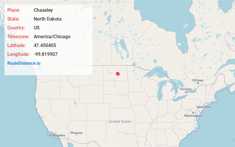
Full AddressChaseley, ND 58423
-
Coordinates47.4504048, -99.8199069
-
LocationChaseley , North Dakota , US
-
TimezoneAmerica/Chicago
-
Current Local Time11:45:52 AM America/ChicagoThursday, June 19, 2025
-
Page Views0
About Chaseley
Chaseley is an unincorporated community in southwestern Wells County, North Dakota, United States. It lies along North Dakota Highway 200 southwest of the city of Fessenden, the county seat of Wells County. It formerly had a post office, with the ZIP code of 58423.
Nearby Places
Found 10 places within 50 miles

Hurdsfield
5.1 mi
8.2 km
Hurdsfield, ND 58451
Get directions

Bowdon
5.4 mi
8.7 km
Bowdon, ND 58418
Get directions

Fessenden
16.4 mi
26.4 km
Fessenden, ND 58438
Get directions
Emrick
17.5 mi
28.2 km
Emrick, ND 58422
Get directions
Sykeston
19.7 mi
31.7 km
Sykeston, ND 58486
Get directions
Cathay
20.5 mi
33.0 km
Cathay, ND 58422
Get directions
Denhoff
20.6 mi
33.2 km
Denhoff, ND 58430
Get directions
Robinson
21.3 mi
34.3 km
Robinson, ND 58478
Get directions

Harvey
22.7 mi
36.5 km
Harvey, ND 58341
Get directions

Tuttle
22.7 mi
36.5 km
Tuttle, ND 58488
Get directions
Location Links
Local Weather
Weather Information
Coming soon!
Location Map
Static map view of Chaseley, North Dakota
Browse Places by Distance
Places within specific distances from Chaseley
Short Distances
Long Distances
Click any distance to see all places within that range from Chaseley. Distances shown in miles (1 mile ≈ 1.61 kilometers).