Distance to Denhoff, North Dakota

Calculating Your Route
Just a moment while we process your request...
Location Information
-
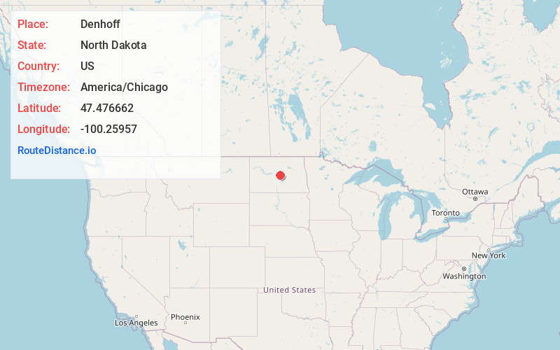
Full AddressDenhoff, ND 58430
-
Coordinates47.4766619, -100.25957
-
LocationDenhoff , North Dakota , US
-
TimezoneAmerica/Chicago
-
Current Local Time10:04:18 PM America/ChicagoThursday, June 19, 2025
-
Page Views0
About Denhoff
Denhoff is an unincorporated community and census-designated place in central Sheridan County, North Dakota, United States. The community was designated as part of the U.S. Census Bureau's Participant Statistical Areas Program on March 31, 2010.
Nearby Places
Found 10 places within 50 miles

McClusky
8.6 mi
13.8 km
McClusky, ND 58463
Get directions

Hurdsfield
15.6 mi
25.1 km
Hurdsfield, ND 58451
Get directions
Mercer Township
22.6 mi
36.4 km
Mercer Township, ND 58559
Get directions
Wing
23.2 mi
37.3 km
Wing, ND 58494
Get directions
Martin
25.1 mi
40.4 km
Martin, ND 58758
Get directions

Harvey
25.3 mi
40.7 km
Harvey, ND 58341
Get directions
Regan
25.4 mi
40.9 km
Regan, ND 58477
Get directions

Bowdon
25.8 mi
41.5 km
Bowdon, ND 58418
Get directions

Tuttle
26.1 mi
42.0 km
Tuttle, ND 58488
Get directions

Anamoose
28.1 mi
45.2 km
Anamoose, ND 58710
Get directions
Location Links
Local Weather
Weather Information
Coming soon!
Location Map
Static map view of Denhoff, North Dakota
Browse Places by Distance
Places within specific distances from Denhoff
Short Distances
Long Distances
Click any distance to see all places within that range from Denhoff. Distances shown in miles (1 mile ≈ 1.61 kilometers).