Distance to Wing, North Dakota

Calculating Your Route
Just a moment while we process your request...
Location Information
-
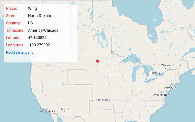
Full AddressWing, ND 58494
-
Coordinates47.1408239, -100.2790017
-
LocationWing , North Dakota , US
-
TimezoneAmerica/Chicago
-
Current Local Time6:20:06 AM America/ChicagoTuesday, June 10, 2025
-
Page Views0
About Wing
Wing is a rural small city in Burleigh County, North Dakota, United States. It is part of the "Bismarck, ND Metropolitan Statistical Area" or "Bismarck-Mandan". The population was 132 at the 2020 census.
Nearby Places
Found 10 places within 50 miles

Wilton
23.7 mi
38.1 km
Wilton, ND 58579
Get directions

McClusky
25.0 mi
40.2 km
McClusky, ND 58463
Get directions

Steele
26.1 mi
42.0 km
Steele, ND 58482
Get directions

Apple Valley
26.7 mi
43.0 km
Apple Valley, ND 58558
Get directions
Lincoln
32.8 mi
52.8 km
Lincoln, ND 58504
Get directions

Bismarck
33.4 mi
53.8 km
Bismarck, ND
Get directions
Harmon
34.7 mi
55.8 km
Harmon, ND 58554
Get directions

Tappen
35.4 mi
57.0 km
Tappen, ND 58487
Get directions

Mandan
36.1 mi
58.1 km
Mandan, ND 58554
Get directions

Washburn
36.7 mi
59.1 km
Washburn, ND 58577
Get directions
Location Links
Local Weather
Weather Information
Coming soon!
Location Map
Static map view of Wing, North Dakota
Browse Places by Distance
Places within specific distances from Wing
Short Distances
Long Distances
Click any distance to see all places within that range from Wing. Distances shown in miles (1 mile ≈ 1.61 kilometers).