Distance to McClusky, North Dakota

Calculating Your Route
Just a moment while we process your request...
Location Information
-
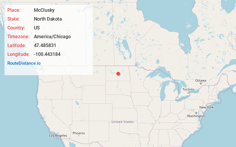
Full AddressMcClusky, ND 58463
-
Coordinates47.4858309, -100.4431838
-
LocationMcClusky , North Dakota , US
-
TimezoneAmerica/Chicago
-
Current Local Time4:26:41 AM America/ChicagoWednesday, June 18, 2025
-
Page Views0
About McClusky
McClusky is a city in Sheridan County, North Dakota, United States. It is the county seat of Sheridan County. The population was 322 at the 2020 census. McClusky was founded in 1905. It is the closest town to the geographical center of North Dakota, which lies approximately five miles to the southwest.


Nearby Places
Found 10 places within 50 miles

Turtle Lake
21.0 mi
33.8 km
Turtle Lake, ND 58575
Get directions

Wilton
27.7 mi
44.6 km
Wilton, ND 58579
Get directions

Washburn
30.6 mi
49.2 km
Washburn, ND 58577
Get directions

Harvey
30.7 mi
49.4 km
Harvey, ND 58341
Get directions

Underwood
32.5 mi
52.3 km
Underwood, ND 58576
Get directions

Fessenden
39.6 mi
63.7 km
Fessenden, ND 58438
Get directions

Stanton
45.3 mi
72.9 km
Stanton, ND 58571
Get directions

Velva
45.4 mi
73.1 km
Velva, ND 58790
Get directions

Garrison
46.8 mi
75.3 km
Garrison, ND 58540
Get directions

Center
47.6 mi
76.6 km
Center, ND 58530
Get directions
Location Links
Local Weather
Weather Information
Coming soon!
Location Map
Static map view of McClusky, North Dakota
Browse Places by Distance
Places within specific distances from McClusky
Short Distances
Long Distances
Click any distance to see all places within that range from McClusky. Distances shown in miles (1 mile ≈ 1.61 kilometers).