Distance to and from Chateau Woods, Texas
Chateau Woods, TX 77385
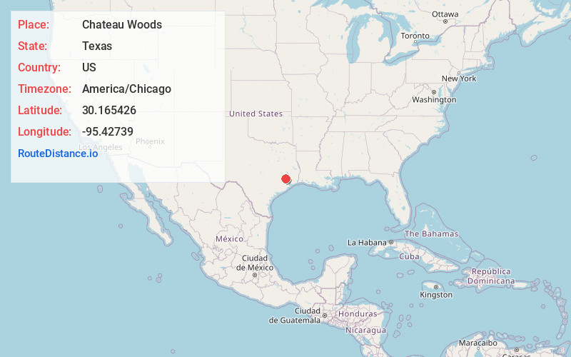
Chateau Woods
Texas
US
America/Chicago
Location Information
-
Full AddressChateau Woods, TX 77385
-
Coordinates30.165426, -95.42739
-
LocationChateau Woods , Texas , US
-
TimezoneAmerica/Chicago
-
Current Local Time6:19:22 PM America/ChicagoSaturday, May 3, 2025
-
Page Views1
Directions to Nearest Cities
About Chateau Woods
Chateau Woods is an unincorporated community in southern Montgomery County, Texas, United States, that was formerly an incorporated municipality. It is located east of Interstate 45, approximately 10 miles south of Conroe and 27 miles north of Houston.
Nearby Places
Found 10 places within 50 miles

Oak Ridge North
1.3 mi
2.1 km
Oak Ridge North, TX
Get directions

Shenandoah
2.0 mi
3.2 km
Shenandoah, TX
Get directions

The Woodlands
2.0 mi
3.2 km
The Woodlands, TX
Get directions

Woodloch
3.7 mi
6.0 km
Woodloch, TX
Get directions

Spring
5.9 mi
9.5 km
Spring, TX 77373
Get directions
Porter Heights
6.4 mi
10.3 km
Porter Heights, TX
Get directions
Grangerland
8.4 mi
13.5 km
Grangerland, TX
Get directions

Conroe
10.3 mi
16.6 km
Conroe, TX
Get directions

Hufsmith
10.5 mi
16.9 km
Hufsmith, TX 77375
Get directions

Tomball
12.2 mi
19.6 km
Tomball, TX
Get directions
Oak Ridge North
1.3 mi
2.1 km
Oak Ridge North, TX
Shenandoah
2.0 mi
3.2 km
Shenandoah, TX
The Woodlands
2.0 mi
3.2 km
The Woodlands, TX
Woodloch
3.7 mi
6.0 km
Woodloch, TX
Spring
5.9 mi
9.5 km
Spring, TX 77373
Porter Heights
6.4 mi
10.3 km
Porter Heights, TX
Grangerland
8.4 mi
13.5 km
Grangerland, TX
Conroe
10.3 mi
16.6 km
Conroe, TX
Hufsmith
10.5 mi
16.9 km
Hufsmith, TX 77375
Tomball
12.2 mi
19.6 km
Tomball, TX
Location Links
Local Weather
Weather Information
Coming soon!
Location Map
Static map view of Chateau Woods, Texas
Browse Places by Distance
Places within specific distances from Chateau Woods
Short Distances
Long Distances
Click any distance to see all places within that range from Chateau Woods. Distances shown in miles (1 mile ≈ 1.61 kilometers).