Distance to Chatham, New Hampshire

Calculating Your Route
Just a moment while we process your request...
Location Information
-
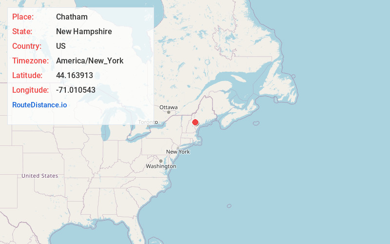
Full AddressChatham, NH 03813
-
Coordinates44.1639129, -71.0105427
-
LocationChatham , New Hampshire , US
-
TimezoneAmerica/New_York
-
Current Local Time3:17:36 PM America/New_YorkSaturday, June 21, 2025
-
Page Views0
About Chatham
Chatham is a town in Carroll County, New Hampshire, United States. The population was 341 at the 2020 census. It is located in the White Mountains, and except for the southeastern corner, all of Chatham is in the White Mountain National Forest. The town is home to the Cold River national forest campgrounds.


Nearby Places
Found 10 places within 50 miles

Lovell
6.4 mi
10.3 km
Lovell, ME
Get directions

Jackson
8.7 mi
14.0 km
Jackson, NH
Get directions

Sweden
9.5 mi
15.3 km
Sweden, ME
Get directions

Fryeburg
10.0 mi
16.1 km
Fryeburg, ME 04037
Get directions

Bartlett
12.7 mi
20.4 km
Bartlett, NH
Get directions

Conway
13.9 mi
22.4 km
Conway, NH
Get directions

Waterford
15.1 mi
24.3 km
Waterford, ME 04088
Get directions

Brownfield
16.4 mi
26.4 km
Brownfield, ME
Get directions

Bridgton
16.5 mi
26.6 km
Bridgton, ME
Get directions

Albany
16.5 mi
26.6 km
Albany, NH
Get directions
Location Links
Local Weather
Weather Information
Coming soon!
Location Map
Static map view of Chatham, New Hampshire
Browse Places by Distance
Places within specific distances from Chatham
Short Distances
Long Distances
Click any distance to see all places within that range from Chatham. Distances shown in miles (1 mile ≈ 1.61 kilometers).