Distance to and from Albany, New Hampshire
Albany, NH
Albany
New Hampshire
US
America/New_York
Location Information
-
Full AddressAlbany, NH
-
Coordinates43.9596314, -71.1843862
-
LocationAlbany , New Hampshire , US
-
TimezoneAmerica/New_York
-
Current Local Time6:56:27 PM America/New_YorkSaturday, May 3, 2025
-
Website
-
Page Views0
Directions to Nearest Cities
About Albany
Albany is a town in Carroll County, New Hampshire, United States. The population was 759 at the 2020 census.
Most of Albany is within the southeastern corner of the White Mountain National Forest, including Mount Chocorua and Mount Paugus.


Nearby Places
Found 10 places within 50 miles

Conway
3.5 mi
5.6 km
Conway, NH
Get directions

Madison
4.5 mi
7.2 km
Madison, NH
Get directions

Tamworth
7.9 mi
12.7 km
Tamworth, NH
Get directions

Bartlett
8.3 mi
13.4 km
Bartlett, NH
Get directions

Fryeburg
11.3 mi
18.2 km
Fryeburg, ME 04037
Get directions

Freedom
12.5 mi
20.1 km
Freedom, NH
Get directions

Jackson
12.9 mi
20.8 km
Jackson, NH
Get directions

Brownfield
14.3 mi
23.0 km
Brownfield, ME
Get directions

Sandwich
16.5 mi
26.6 km
Sandwich, NH
Get directions

Porter
16.8 mi
27.0 km
Porter, ME 04068
Get directions
Conway
3.5 mi
5.6 km
Conway, NH
Madison
4.5 mi
7.2 km
Madison, NH
Tamworth
7.9 mi
12.7 km
Tamworth, NH
Bartlett
8.3 mi
13.4 km
Bartlett, NH
Fryeburg
11.3 mi
18.2 km
Fryeburg, ME 04037
Freedom
12.5 mi
20.1 km
Freedom, NH
Jackson
12.9 mi
20.8 km
Jackson, NH
Brownfield
14.3 mi
23.0 km
Brownfield, ME
Sandwich
16.5 mi
26.6 km
Sandwich, NH
Porter
16.8 mi
27.0 km
Porter, ME 04068
Location Links
Local Weather
Weather Information
Coming soon!
Location Map
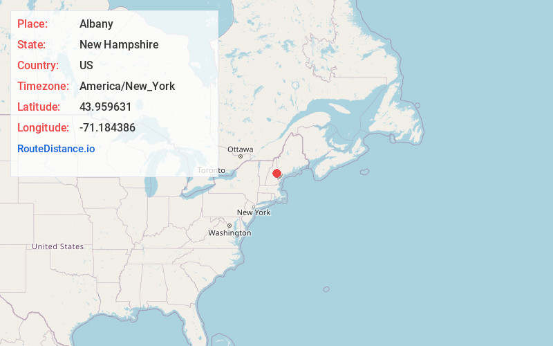
Static map view of Albany, New Hampshire
Browse Places by Distance
Places within specific distances from Albany
Short Distances
Long Distances
Click any distance to see all places within that range from Albany. Distances shown in miles (1 mile ≈ 1.61 kilometers).