Distance to Freedom, New Hampshire

Calculating Your Route
Just a moment while we process your request...
Location Information
-
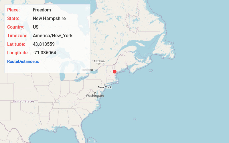
Full AddressFreedom, NH
-
Coordinates43.8135588, -71.0360641
-
LocationFreedom , New Hampshire , US
-
TimezoneAmerica/New_York
-
Current Local Time2:46:52 AM America/New_YorkSunday, May 25, 2025
-
Website
-
Page Views0
About Freedom
Freedom is a town located in Carroll County, New Hampshire, United States. The population was 1,689 at the 2020 census, up from 1,489 at the 2010 census. The town's eastern boundary runs along the Maine state border. Ossipee Lake, with a resort and camps, is in the southwest of the town.


Nearby Places
Found 10 places within 50 miles

Porter
5.1 mi
8.2 km
Porter, ME 04068
Get directions

Effingham
5.2 mi
8.4 km
Effingham, NH 03882
Get directions

Parsonsfield
8.0 mi
12.9 km
Parsonsfield, ME
Get directions

Madison
8.1 mi
13.0 km
Madison, NH
Get directions

Ossipee
9.7 mi
15.6 km
Ossipee, NH
Get directions

Brownfield
11.2 mi
18.0 km
Brownfield, ME
Get directions

Cornish
11.7 mi
18.8 km
Cornish, ME 04020
Get directions

Tamworth
11.8 mi
19.0 km
Tamworth, NH
Get directions

Conway
12.1 mi
19.5 km
Conway, NH
Get directions

Hiram
12.4 mi
20.0 km
Hiram, ME
Get directions
Location Links
Local Weather
Weather Information
Coming soon!
Location Map
Static map view of Freedom, New Hampshire
Browse Places by Distance
Places within specific distances from Freedom
Short Distances
Long Distances
Click any distance to see all places within that range from Freedom. Distances shown in miles (1 mile ≈ 1.61 kilometers).