Distance to Chatsworth, Georgia

Calculating Your Route
Just a moment while we process your request...
Location Information
-
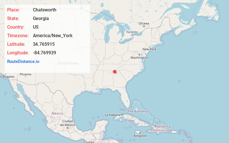
Full AddressChatsworth, GA 30705
-
Coordinates34.7659145, -84.7699385
-
LocationChatsworth , Georgia , US
-
TimezoneAmerica/New_York
-
Current Local Time12:38:18 AM America/New_YorkMonday, June 2, 2025
-
Page Views0
About Chatsworth
Chatsworth is a city in and the county seat of Murray County, Georgia, United States. It is part of the Dalton, Georgia, Metropolitan Statistical Area. Its population was 4,874 at the 2020 census, up from 4,299 in 2010. The city is the site of the coldest recorded temperature in Georgia, −17 °F on January 27, 1940.


Nearby Places
Found 10 places within 50 miles

Dalton
11.4 mi
18.3 km
Dalton, GA
Get directions

Calhoun
20.9 mi
33.6 km
Calhoun, GA
Get directions

South Cleveland
25.2 mi
40.6 km
South Cleveland, TN
Get directions

Collegedale
25.4 mi
40.9 km
Collegedale, TN
Get directions

Cleveland
27.9 mi
44.9 km
Cleveland, TN
Get directions

LaFayette
29.4 mi
47.3 km
LaFayette, GA 30728
Get directions

East Ridge
30.3 mi
48.8 km
East Ridge, TN
Get directions

Fort Oglethorpe
30.4 mi
48.9 km
Fort Oglethorpe, GA
Get directions

Harrison
31.8 mi
51.2 km
Harrison, TN
Get directions

Chattanooga
36.2 mi
58.3 km
Chattanooga, TN
Get directions
Location Links
Local Weather
Weather Information
Coming soon!
Location Map
Static map view of Chatsworth, Georgia
Browse Places by Distance
Places within specific distances from Chatsworth
Short Distances
Long Distances
Click any distance to see all places within that range from Chatsworth. Distances shown in miles (1 mile ≈ 1.61 kilometers).