Distance to Chedwel, New York

Calculating Your Route
Just a moment while we process your request...
Location Information
-
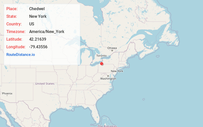
Full AddressChedwel, NY 14712
-
Coordinates42.2163899, -79.43556
-
LocationChedwel , New York , US
-
TimezoneAmerica/New_York
-
Current Local Time3:14:57 PM America/New_YorkTuesday, June 24, 2025
-
Page Views0
About Chedwel
Chedwel is a small community in Chautauqua County, New York, United States, on the north shore of Chautauqua Lake, about halfway between Bemus Point and Mayville, between State Route 430 and the lake. It is at an elevation of 1335 ft above sea level.
Nearby Places
Found 10 places within 50 miles

Maple Springs
1.5 mi
2.4 km
Maple Springs, NY 14712
Get directions
Dewittville
1.7 mi
2.7 km
Dewittville, NY 14728
Get directions

Chautauqua
1.7 mi
2.7 km
Chautauqua, NY 14757
Get directions
Wahmeda
2.2 mi
3.5 km
Wahmeda, Chautauqua, NY 14757
Get directions
West Ellery
2.4 mi
3.9 km
West Ellery, NY 14712
Get directions
Wooglin
2.9 mi
4.7 km
Wooglin, NY 14728
Get directions

Lakeside Park
3.5 mi
5.6 km
Lakeside Park, Mayville, NY 14757
Get directions
Hartfield
4.0 mi
6.4 km
Hartfield, Chautauqua, NY 14757
Get directions

Mayville
4.4 mi
7.1 km
Mayville, NY 14757
Get directions

Bemus Point
4.4 mi
7.1 km
Bemus Point, NY 14712
Get directions
Location Links
Local Weather
Weather Information
Coming soon!
Location Map
Static map view of Chedwel, New York
Browse Places by Distance
Places within specific distances from Chedwel
Short Distances
Long Distances
Click any distance to see all places within that range from Chedwel. Distances shown in miles (1 mile ≈ 1.61 kilometers).