Distance to Chehalis, Washington

Calculating Your Route
Just a moment while we process your request...
Location Information
-
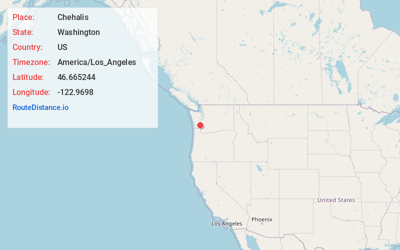
Full AddressChehalis, WA 98532
-
Coordinates46.6652443, -122.9698002
-
LocationChehalis , Washington , US
-
TimezoneAmerica/Los_Angeles
-
Current Local Time2:30:21 PM America/Los_AngelesFriday, May 23, 2025
-
Website
-
Page Views0
About Chehalis
Chehalis is a city in and the county seat of Lewis County, Washington, United States. The population was 7,439 at the time of the 2020 census.
The city is located in the Chehalis valley and is split by Interstate 5 and State Route 6. It is twinned with the bordering city of Centralia.


Nearby Places
Found 10 places within 50 miles

Centralia
3.6 mi
5.8 km
Centralia, WA
Get directions

Tumwater
23.8 mi
38.3 km
Tumwater, WA
Get directions

Yelm
25.7 mi
41.4 km
Yelm, WA
Get directions

Olympia
26.5 mi
42.6 km
Olympia, WA
Get directions

Lacey
26.5 mi
42.6 km
Lacey, WA
Get directions

DuPont
33.8 mi
54.4 km
DuPont, WA 98327
Get directions

Fort Lewis
34.3 mi
55.2 km
Fort Lewis, WA
Get directions

Kelso
35.9 mi
57.8 km
Kelso, WA
Get directions

Longview
36.5 mi
58.7 km
Longview, WA
Get directions

Elk Plain
38.1 mi
61.3 km
Elk Plain, WA
Get directions
Location Links
Local Weather
Weather Information
Coming soon!
Location Map
Static map view of Chehalis, Washington
Browse Places by Distance
Places within specific distances from Chehalis
Short Distances
Long Distances
Click any distance to see all places within that range from Chehalis. Distances shown in miles (1 mile ≈ 1.61 kilometers).