Distance to Chelan Falls, Washington

Calculating Your Route
Just a moment while we process your request...
Location Information
-
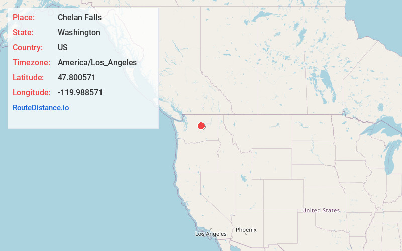
Full AddressChelan Falls, WA
-
Coordinates47.8005714, -119.9885706
-
LocationChelan Falls , Washington , US
-
TimezoneAmerica/Los_Angeles
-
Current Local Time11:59:38 AM America/Los_AngelesTuesday, June 24, 2025
-
Page Views0
About Chelan Falls
Chelan Falls is a census-designated place and unincorporated community in Chelan County, Washington, United States. The population was 340 at the 2020 census. Chelan Falls is located on the Columbia River at the mouth of the Chelan River, 5 miles south-southeast of Chelan.


Nearby Places
Found 10 places within 50 miles

Chelan
3.1 mi
5.0 km
Chelan, WA 98816
Get directions

Manson
9.7 mi
15.6 km
Manson, WA 98831
Get directions

Waterville
11.3 mi
18.2 km
Waterville, WA 98858
Get directions

Entiat
13.4 mi
21.6 km
Entiat, WA
Get directions

Mansfield
16.3 mi
26.2 km
Mansfield, WA 98830
Get directions

Pateros
17.7 mi
28.5 km
Pateros, WA
Get directions

Bridgeport
20.5 mi
33.0 km
Bridgeport, WA 98813
Get directions

Brewster
22.6 mi
36.4 km
Brewster, WA 98812
Get directions

Sunnyslope
27.8 mi
44.7 km
Sunnyslope, WA 98801
Get directions

Cashmere
29.5 mi
47.5 km
Cashmere, WA 98815
Get directions
Location Links
Local Weather
Weather Information
Coming soon!
Location Map
Static map view of Chelan Falls, Washington
Browse Places by Distance
Places within specific distances from Chelan Falls
Short Distances
Long Distances
Click any distance to see all places within that range from Chelan Falls. Distances shown in miles (1 mile ≈ 1.61 kilometers).