Distance to Cheneyville, Louisiana

Calculating Your Route
Just a moment while we process your request...
Location Information
-
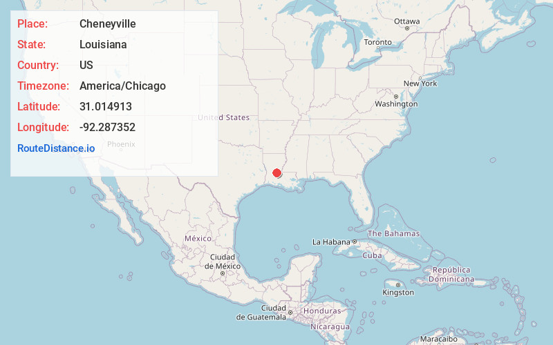
Full AddressCheneyville, LA
-
Coordinates31.0149128, -92.2873521
-
LocationCheneyville , Louisiana , US
-
TimezoneAmerica/Chicago
-
Current Local Time1:48:53 AM America/ChicagoTuesday, July 1, 2025
-
Page Views0
About Cheneyville
Cheneyville is a town in Rapides Parish, Louisiana, United States. It is part of the Alexandria, Louisiana Metropolitan Statistical Area. The population was 625 at the 2010 census.


Nearby Places
Found 10 places within 50 miles

Bunkie
7.5 mi
12.1 km
Bunkie, LA 71322
Get directions

Lecompte
8.7 mi
14.0 km
Lecompte, LA
Get directions

Fifth Ward
10.5 mi
16.9 km
Fifth Ward, LA 71351
Get directions

Cottonport
14.0 mi
22.5 km
Cottonport, LA 71327
Get directions

Mansura
14.4 mi
23.2 km
Mansura, LA 71350
Get directions

Marksville
15.2 mi
24.5 km
Marksville, LA
Get directions
Woodworth
15.4 mi
24.8 km
Woodworth, LA
Get directions
Center Point
16.8 mi
27.0 km
Center Point, LA 71323
Get directions

Glenmora
17.8 mi
28.6 km
Glenmora, LA 71433
Get directions

Pine Prairie
17.9 mi
28.8 km
Pine Prairie, LA
Get directions
Location Links
Local Weather
Weather Information
Coming soon!
Location Map
Static map view of Cheneyville, Louisiana
Browse Places by Distance
Places within specific distances from Cheneyville
Short Distances
Long Distances
Click any distance to see all places within that range from Cheneyville. Distances shown in miles (1 mile ≈ 1.61 kilometers).