Distance to Center Point, Louisiana

Calculating Your Route
Just a moment while we process your request...
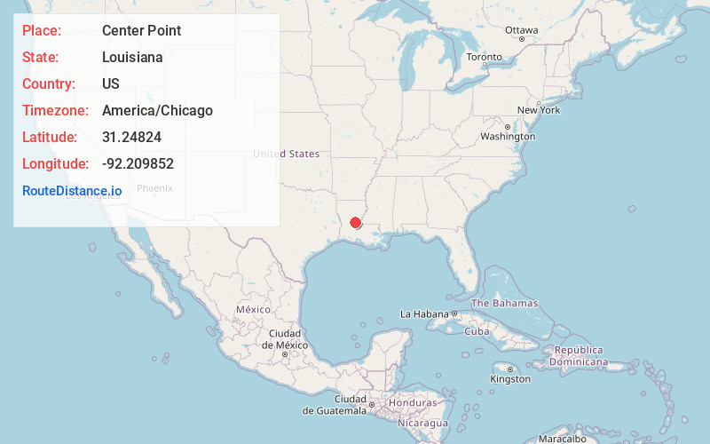
Location Information
-
Full AddressCenter Point, LA 71323
-
Coordinates31.2482404, -92.2098515
-
LocationCenter Point , Louisiana , US
-
TimezoneAmerica/Chicago
-
Current Local Time12:36:34 AM America/ChicagoFriday, June 20, 2025
-
Page Views0
About Center Point
Center Point is an unincorporated community and census-designated place in Avoyelles Parish, Louisiana, United States. As of the 2010 census, it had a population of 492.
Center Point is located along Louisiana Highway 107, 13 miles northwest of Marksville, the parish seat, and 16 miles east of Alexandria.
Nearby Places
Found 10 places within 50 miles

Deville
8.1 mi
13.0 km
Deville, LA 71328
Get directions

Fifth Ward
8.4 mi
13.5 km
Fifth Ward, LA 71351
Get directions

Marksville
11.9 mi
19.2 km
Marksville, LA
Get directions

Pineville
14.2 mi
22.9 km
Pineville, LA
Get directions

Alexandria
14.6 mi
23.5 km
Alexandria, LA
Get directions

Mansura
16.2 mi
26.1 km
Mansura, LA 71350
Get directions

Ball
16.6 mi
26.7 km
Ball, LA
Get directions
Woodworth
18.4 mi
29.6 km
Woodworth, LA
Get directions
Moreauville
20.2 mi
32.5 km
Moreauville, LA
Get directions

Bunkie
20.4 mi
32.8 km
Bunkie, LA 71322
Get directions
Location Links
Local Weather
Weather Information
Coming soon!
Location Map
Static map view of Center Point, Louisiana
Browse Places by Distance
Places within specific distances from Center Point
Short Distances
Long Distances
Click any distance to see all places within that range from Center Point. Distances shown in miles (1 mile ≈ 1.61 kilometers).