Distance to Deville, Louisiana

Calculating Your Route
Just a moment while we process your request...
Location Information
-
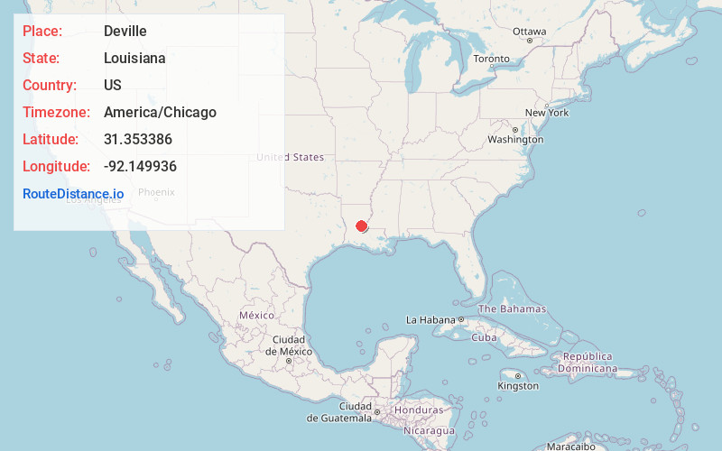
Full AddressDeville, LA 71328
-
Coordinates31.3533863, -92.1499356
-
LocationDeville , Louisiana , US
-
TimezoneAmerica/Chicago
-
Current Local Time11:08:44 AM America/ChicagoSunday, May 25, 2025
-
Page Views0
About Deville
Deville is a census-designated place in Rapides Parish, Louisiana, United States. It is part of the Alexandria, Louisiana Metropolitan Statistical Area.


Nearby Places
Found 10 places within 50 miles

Fifth Ward
15.5 mi
24.9 km
Fifth Ward, LA 71351
Get directions

Ball
16.0 mi
25.7 km
Ball, LA
Get directions

Marksville
16.3 mi
26.2 km
Marksville, LA
Get directions

Pineville
16.9 mi
27.2 km
Pineville, LA
Get directions

Alexandria
17.7 mi
28.5 km
Alexandria, LA
Get directions

Mansura
21.3 mi
34.3 km
Mansura, LA 71350
Get directions

Jena
22.8 mi
36.7 km
Jena, LA
Get directions
Woodworth
25.0 mi
40.2 km
Woodworth, LA
Get directions

Cottonport
26.1 mi
42.0 km
Cottonport, LA 71327
Get directions

Jonesville
27.2 mi
43.8 km
Jonesville, LA 71343
Get directions
Location Links
Local Weather
Weather Information
Coming soon!
Location Map
Static map view of Deville, Louisiana
Browse Places by Distance
Places within specific distances from Deville
Short Distances
Long Distances
Click any distance to see all places within that range from Deville. Distances shown in miles (1 mile ≈ 1.61 kilometers).