Distance to Cherokee, Alabama

Calculating Your Route
Just a moment while we process your request...
Location Information
-
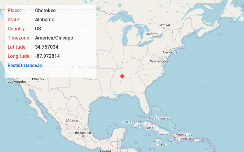
Full AddressCherokee, AL 35616
-
Coordinates34.7570342, -87.9728143
-
LocationCherokee , Alabama , US
-
TimezoneAmerica/Chicago
-
Current Local Time6:23:06 AM America/ChicagoSaturday, May 31, 2025
-
Page Views0
About Cherokee
Cherokee is a town in west Colbert County, Alabama, United States. Located near the Tennessee River, it is part of the Florence–Muscle Shoals metropolitan area, known as "The Shoals". As of the 2010 census, the population of the town was 1,048.
Nearby Places
Found 10 places within 50 miles

Iuka
12.9 mi
20.8 km
Iuka, MS 38852
Get directions

Tuscumbia
15.4 mi
24.8 km
Tuscumbia, AL 35674
Get directions

Sheffield
15.6 mi
25.1 km
Sheffield, AL
Get directions

Florence
17.0 mi
27.4 km
Florence, AL
Get directions

Muscle Shoals
17.4 mi
28.0 km
Muscle Shoals, AL
Get directions

Underwood-Petersville
18.0 mi
29.0 km
Underwood-Petersville, AL
Get directions

Belmont
21.7 mi
34.9 km
Belmont, MS
Get directions

Russellville
22.1 mi
35.6 km
Russellville, AL
Get directions

Red Bay
23.9 mi
38.5 km
Red Bay, AL 35582
Get directions

Killen
25.8 mi
41.5 km
Killen, AL 35645
Get directions
Location Links
Local Weather
Weather Information
Coming soon!
Location Map
Static map view of Cherokee, Alabama
Browse Places by Distance
Places within specific distances from Cherokee
Short Distances
Long Distances
Click any distance to see all places within that range from Cherokee. Distances shown in miles (1 mile ≈ 1.61 kilometers).