Distance to Cherokee Springs, South Carolina

Calculating Your Route
Just a moment while we process your request...
Location Information
-
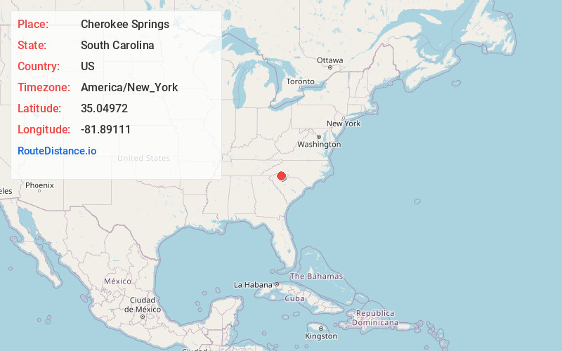
Full AddressCherokee Springs, SC 29323
-
Coordinates35.04972, -81.89111
-
LocationCherokee Springs , South Carolina , US
-
TimezoneAmerica/New_York
-
Current Local Time1:36:05 AM America/New_YorkFriday, June 20, 2025
-
Page Views0
About Cherokee Springs
Cherokee Springs is an unincorporated community in Spartanburg County, in the U.S. state of South Carolina.
Nearby Places
Found 10 places within 50 miles

Mayo
3.0 mi
4.8 km
Mayo, SC
Get directions

Zion Hill
4.8 mi
7.7 km
Zion Hill, SC 29307
Get directions
Converse
5.1 mi
8.2 km
Converse, SC
Get directions

Boiling Springs
5.1 mi
8.2 km
Boiling Springs, SC 29316
Get directions
Valley Falls
5.3 mi
8.5 km
Valley Falls, SC
Get directions
Whitney Heights
5.3 mi
8.5 km
Whitney Heights, SC 29303
Get directions

Cowpens
5.4 mi
8.7 km
Cowpens, SC 29330
Get directions
Drayton
5.7 mi
9.2 km
Drayton, SC
Get directions
Clifton
6.4 mi
10.3 km
Clifton, SC
Get directions

Chesnee
7.1 mi
11.4 km
Chesnee, SC 29323
Get directions
Location Links
Local Weather
Weather Information
Coming soon!
Location Map
Static map view of Cherokee Springs, South Carolina
Browse Places by Distance
Places within specific distances from Cherokee Springs
Short Distances
Long Distances
Click any distance to see all places within that range from Cherokee Springs. Distances shown in miles (1 mile ≈ 1.61 kilometers).