Distance to Cherry, Illinois

Calculating Your Route
Just a moment while we process your request...
Location Information
-
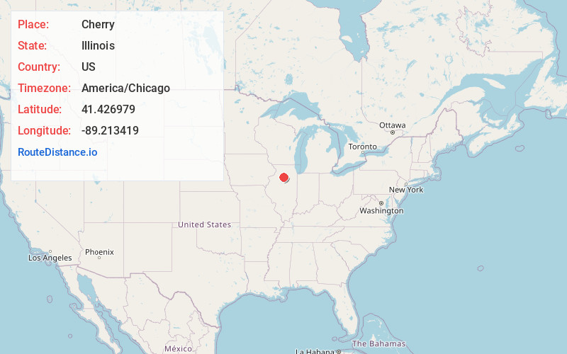
Full AddressCherry, IL
-
Coordinates41.4269787, -89.213419
-
LocationCherry , Illinois , US
-
TimezoneAmerica/Chicago
-
Current Local Time8:45:44 AM America/ChicagoFriday, June 20, 2025
-
Page Views0
About Cherry
Cherry is a village in Bureau County, Illinois, United States. The population was 435 at the 2020 census. It is part of the Ottawa Micropolitan Statistical Area. It is located northwest of LaSalle-Peru, just a few miles north of Interstate 80, and is about 75 miles east of the Quad Cities.
Nearby Places
Found 10 places within 50 miles

Ladd
3.0 mi
4.8 km
Ladd, IL
Get directions
Dalzell
5.2 mi
8.4 km
Dalzell, IL
Get directions

Spring Valley
6.9 mi
11.1 km
Spring Valley, IL 61362
Get directions
La Moille
8.0 mi
12.9 km
La Moille, IL 61330
Get directions

Peru
8.1 mi
13.0 km
Peru, IL
Get directions

DePue
8.6 mi
13.8 km
DePue, IL
Get directions

Mendota
9.7 mi
15.6 km
Mendota, IL 61342
Get directions

La Salle
10.0 mi
16.1 km
La Salle, IL
Get directions
Mark
11.4 mi
18.3 km
Mark, IL
Get directions
Granville
11.5 mi
18.5 km
Granville, IL 61326
Get directions
Location Links
Local Weather
Weather Information
Coming soon!
Location Map
Static map view of Cherry, Illinois
Browse Places by Distance
Places within specific distances from Cherry
Short Distances
Long Distances
Click any distance to see all places within that range from Cherry. Distances shown in miles (1 mile ≈ 1.61 kilometers).