Distance to Chestang, Alabama

Calculating Your Route
Just a moment while we process your request...
Location Information
-
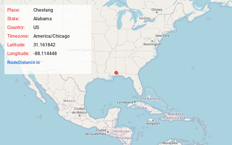
Full AddressChestang, AL 36553
-
Coordinates31.1618416, -88.1144479
-
LocationAlabama , US
-
TimezoneAmerica/Chicago
-
Current Local Time2:21:37 PM America/ChicagoSaturday, June 21, 2025
-
Page Views0
Nearby Places
Found 10 places within 50 miles

Fairford
3.2 mi
5.1 km
Fairford, AL 36553
Get directions
Happy Hill
4.0 mi
6.4 km
Happy Hill, AL 36553
Get directions
Sims Chapel
4.5 mi
7.2 km
Sims Chapel, AL 36553
Get directions
Reid Settlement
5.9 mi
9.5 km
Reid Settlement, AL 36553
Get directions
Calvert
6.2 mi
10.0 km
Calvert, AL
Get directions
Malcolm
6.6 mi
10.6 km
Malcolm, AL
Get directions

Mt Vernon
8.0 mi
12.9 km
Mt Vernon, AL 36560
Get directions

Citronelle
8.3 mi
13.4 km
Citronelle, AL 36522
Get directions
Movico
8.5 mi
13.7 km
Movico, AL 36560
Get directions
McIntosh
8.7 mi
14.0 km
McIntosh, AL 36553
Get directions
Location Links
Local Weather
Weather Information
Coming soon!
Location Map
Static map view of Chestang, Alabama
Browse Places by Distance
Places within specific distances from Chestang
Short Distances
Long Distances
Click any distance to see all places within that range from Chestang. Distances shown in miles (1 mile ≈ 1.61 kilometers).