Distance to Sims Chapel, Alabama

Calculating Your Route
Just a moment while we process your request...
Location Information
-
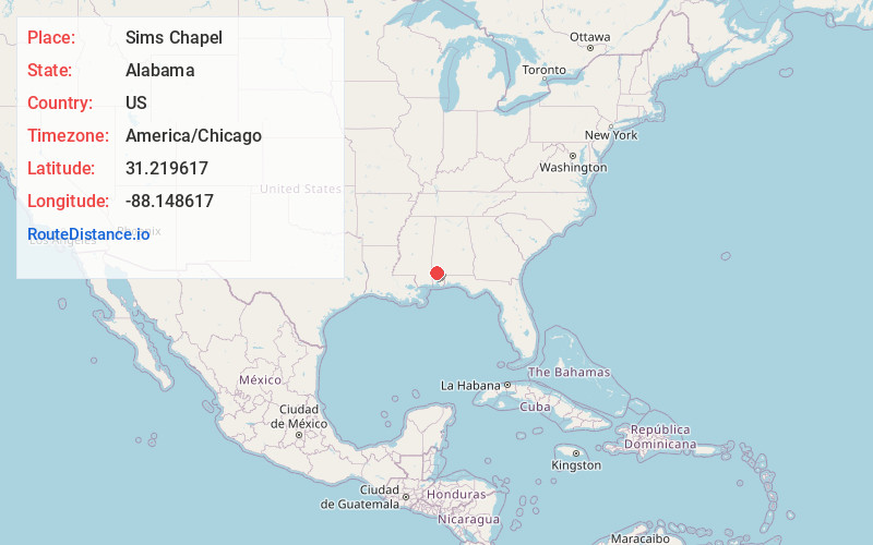
Full AddressSims Chapel, AL 36553
-
Coordinates31.2196171, -88.1486166
-
LocationSims Chapel , Alabama , US
-
TimezoneAmerica/Chicago
-
Current Local Time3:43:51 AM America/ChicagoFriday, May 30, 2025
-
Page Views0
About Sims Chapel
Sims Chapel is a census-designated place and unincorporated community in Washington County, Alabama, United States. Its population was 153 as of the 2010 census.
Nearby Places
Found 10 places within 50 miles

Fairford
6.3 mi
10.1 km
Fairford, AL 36553
Get directions
McIntosh
7.6 mi
12.2 km
McIntosh, AL 36553
Get directions
Malcolm
8.6 mi
13.8 km
Malcolm, AL
Get directions
Calvert
9.3 mi
15.0 km
Calvert, AL
Get directions

Deer Park
9.8 mi
15.8 km
Deer Park, AL 36529
Get directions

Citronelle
10.1 mi
16.3 km
Citronelle, AL 36522
Get directions
Tibbie
11.5 mi
18.5 km
Tibbie, AL
Get directions
Vinegar Bend
12.0 mi
19.3 km
Vinegar Bend, AL 36584
Get directions

Mt Vernon
12.3 mi
19.8 km
Mt Vernon, AL 36560
Get directions
Movico
13.0 mi
20.9 km
Movico, AL 36560
Get directions
Location Links
Local Weather
Weather Information
Coming soon!
Location Map
Static map view of Sims Chapel, Alabama
Browse Places by Distance
Places within specific distances from Sims Chapel
Short Distances
Long Distances
Click any distance to see all places within that range from Sims Chapel. Distances shown in miles (1 mile ≈ 1.61 kilometers).