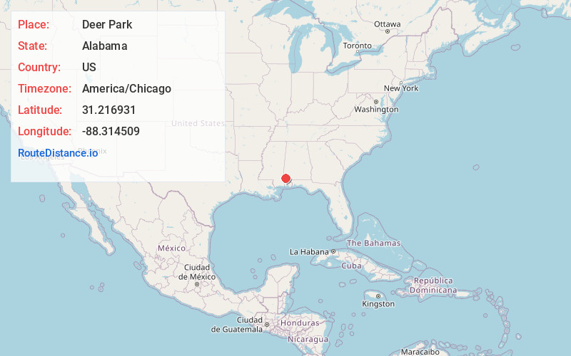
Distance to Deer Park, Alabama

Calculating Your Route
Just a moment while we process your request...
Location Information
-
Full AddressDeer Park, AL 36529
-
Coordinates31.2169307, -88.3145093
-
LocationDeer Park , Alabama , US
-
TimezoneAmerica/Chicago
-
Current Local Time2:45:10 PM America/ChicagoSaturday, June 28, 2025
-
Page Views0
About Deer Park
Deer Park is an unincorporated community and census-designated place in Washington County, Alabama, United States. Although a ghost town by 1966 it had a population of 188 at the 2010 census. Deer Park is 17.5 miles south-southwest of Chatom. Deer Park has a post office with ZIP code 36529.

Nearby Places
Found 10 places within 50 miles

Vinegar Bend
3.7 mi
6.0 km
Vinegar Bend, AL 36584
Get directions

Citronelle
10.1 mi
16.3 km
Citronelle, AL 36522
Get directions

Fruitdale
10.3 mi
16.6 km
Fruitdale, AL 36539
Get directions

Leakesville
15.0 mi
24.1 km
Leakesville, MS
Get directions
Fairford
15.4 mi
24.8 km
Fairford, AL 36553
Get directions
McIntosh
17.1 mi
27.5 km
McIntosh, AL 36553
Get directions

Chatom
17.5 mi
28.2 km
Chatom, AL 36518
Get directions

State Line
17.9 mi
28.8 km
State Line, MS
Get directions
Hobson
20.0 mi
32.2 km
Hobson, AL 36518
Get directions

Mt Vernon
20.1 mi
32.3 km
Mt Vernon, AL 36560
Get directions
Location Links
Local Weather
Weather Information
Coming soon!
Location Map
Static map view of Deer Park, Alabama
Browse Places by Distance
Places within specific distances from Deer Park
Short Distances
Long Distances
Click any distance to see all places within that range from Deer Park. Distances shown in miles (1 mile ≈ 1.61 kilometers).