Distance to Tibbie, Alabama

Calculating Your Route
Just a moment while we process your request...
Location Information
-
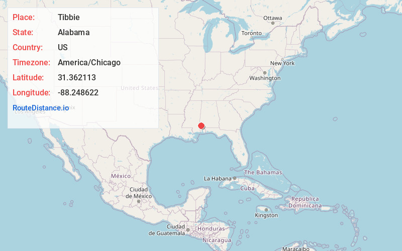
Full AddressTibbie, AL
-
Coordinates31.3621128, -88.2486215
-
LocationTibbie , Alabama , US
-
TimezoneAmerica/Chicago
-
Current Local Time9:13:28 AM America/ChicagoTuesday, June 24, 2025
-
Page Views0
About Tibbie
Tibbie is a census-designated place and unincorporated community in Washington County, Alabama, United States. Its population was 41 as of the 2010 census.
The Red Alabama Blackmouth Cur is thought to have originated in the area around Tibbie in the 1940s.
Nearby Places
Found 10 places within 50 miles

Chatom
7.1 mi
11.4 km
Chatom, AL 36518
Get directions

Vinegar Bend
8.9 mi
14.3 km
Vinegar Bend, AL 36584
Get directions
Hobson
9.5 mi
15.3 km
Hobson, AL 36518
Get directions

Fruitdale
9.5 mi
15.3 km
Fruitdale, AL 36539
Get directions

Deer Park
10.8 mi
17.4 km
Deer Park, AL 36529
Get directions

State Line
14.3 mi
23.0 km
State Line, MS
Get directions
McIntosh
14.4 mi
23.2 km
McIntosh, AL 36553
Get directions

St Stephens
16.8 mi
27.0 km
St Stephens, AL 36569
Get directions
Fairford
17.4 mi
28.0 km
Fairford, AL 36553
Get directions

Citronelle
18.8 mi
30.3 km
Citronelle, AL 36522
Get directions
Location Links
Local Weather
Weather Information
Coming soon!
Location Map
Static map view of Tibbie, Alabama
Browse Places by Distance
Places within specific distances from Tibbie
Short Distances
Long Distances
Click any distance to see all places within that range from Tibbie. Distances shown in miles (1 mile ≈ 1.61 kilometers).