Distance to Chesterfield, Massachusetts

Calculating Your Route
Just a moment while we process your request...
Location Information
-
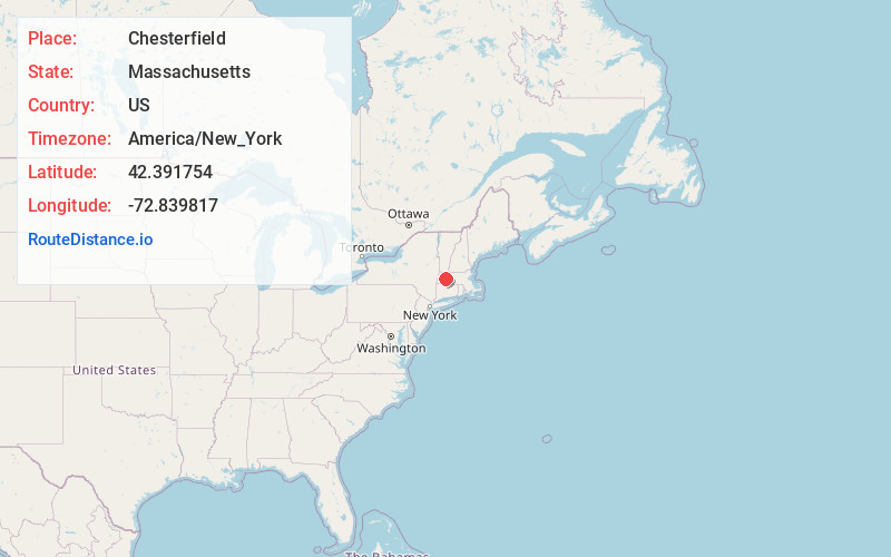
Full AddressChesterfield, MA
-
Coordinates42.3917541, -72.8398172
-
LocationChesterfield , Massachusetts , US
-
TimezoneAmerica/New_York
-
Current Local Time3:19:28 PM America/New_YorkTuesday, June 24, 2025
-
Website
-
Page Views0
About Chesterfield
Chesterfield is a rural hill town in Hampshire County, Massachusetts, United States, 26 miles east of Pittsfield and 90 miles west of Boston. The population was 1,186 at the 2020 census. It is part of the Springfield, Massachusetts Metropolitan Statistical Area.


Nearby Places
Found 10 places within 50 miles

Williamsburg
5.6 mi
9.0 km
Williamsburg, MA
Get directions

Westhampton
6.9 mi
11.1 km
Westhampton, MA 01027
Get directions

Ashfield
9.7 mi
15.6 km
Ashfield, MA
Get directions

Chester
10.5 mi
16.9 km
Chester, MA
Get directions

Conway
10.8 mi
17.4 km
Conway, MA
Get directions

Whately
11.0 mi
17.7 km
Whately, MA
Get directions

Huntington
11.1 mi
17.9 km
Huntington, MA 01050
Get directions

Northampton
11.1 mi
17.9 km
Northampton, MA
Get directions

Easthampton
12.3 mi
19.8 km
Easthampton, MA
Get directions

Hatfield
12.5 mi
20.1 km
Hatfield, MA
Get directions
Location Links
Local Weather
Weather Information
Coming soon!
Location Map
Static map view of Chesterfield, Massachusetts
Browse Places by Distance
Places within specific distances from Chesterfield
Short Distances
Long Distances
Click any distance to see all places within that range from Chesterfield. Distances shown in miles (1 mile ≈ 1.61 kilometers).