Distance to and from Chesterfield, Alabama
Chesterfield, AL 35973
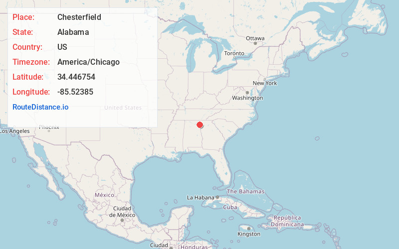
Alabama
US
America/Chicago
Location Information
-
Full AddressChesterfield, AL 35973
-
Coordinates34.4467537, -85.5238504
-
LocationAlabama , US
-
TimezoneAmerica/Chicago
-
Current Local Time9:57:15 PM America/ChicagoThursday, May 8, 2025
-
Page Views0
Directions to Nearest Cities
Nearby Places
Found 10 places within 50 miles

Berry Springs
1.5 mi
2.4 km
Berry Springs, AL 35973
Get directions
Burgess
1.9 mi
3.1 km
Burgess, AL 35973
Get directions
Grover
2.5 mi
4.0 km
Grover, AL 35973
Get directions
New Moon
3.7 mi
6.0 km
New Moon, AL 35973
Get directions

Menlo
3.8 mi
6.1 km
Menlo, GA 30731
Get directions

Broomtown
6.0 mi
9.7 km
Broomtown, AL 35973
Get directions
Perennial
6.2 mi
10.0 km
Perennial, GA 30747
Get directions
Chelsea
7.1 mi
11.4 km
Chelsea, GA 30731
Get directions
Fisher Crossroads
7.2 mi
11.6 km
Fisher Crossroads, Fort Payne, AL 35967
Get directions

Lyerly
7.5 mi
12.1 km
Lyerly, GA 30730
Get directions
Berry Springs
1.5 mi
2.4 km
Berry Springs, AL 35973
Burgess
1.9 mi
3.1 km
Burgess, AL 35973
Grover
2.5 mi
4.0 km
Grover, AL 35973
New Moon
3.7 mi
6.0 km
New Moon, AL 35973
Menlo
3.8 mi
6.1 km
Menlo, GA 30731
Broomtown
6.0 mi
9.7 km
Broomtown, AL 35973
Perennial
6.2 mi
10.0 km
Perennial, GA 30747
Chelsea
7.1 mi
11.4 km
Chelsea, GA 30731
Fisher Crossroads
7.2 mi
11.6 km
Fisher Crossroads, Fort Payne, AL 35967
Lyerly
7.5 mi
12.1 km
Lyerly, GA 30730
Location Links
Local Weather
Weather Information
Coming soon!
Location Map
Static map view of Chesterfield, Alabama
Browse Places by Distance
Places within specific distances from Chesterfield
Short Distances
Long Distances
Click any distance to see all places within that range from Chesterfield. Distances shown in miles (1 mile ≈ 1.61 kilometers).