Distance to Chesterfield, Connecticut

Calculating Your Route
Just a moment while we process your request...
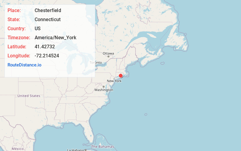
Location Information
-
Full AddressChesterfield, Montville, CT 06370
-
Coordinates41.4273201, -72.2145238
-
NeighborhoodChesterfield
-
LocationMontville , Connecticut , US
-
TimezoneAmerica/New_York
-
Current Local Time2:18:55 AM America/New_YorkMonday, June 23, 2025
-
Page Views0
Nearby Places
Found 10 places within 50 miles

Montville
4.0 mi
6.4 km
Montville, CT
Get directions

Flanders
4.0 mi
6.4 km
Flanders, East Lyme, CT 06333
Get directions
Oswegatchie
5.4 mi
8.7 km
Oswegatchie, Waterford, CT 06385
Get directions
Salem
5.4 mi
8.7 km
Salem, CT 06420
Get directions
Manitock Spring
5.8 mi
9.3 km
Manitock Spring, Waterford, CT 06385
Get directions

Waterford
6.4 mi
10.3 km
Waterford, CT
Get directions
Harrisons
6.5 mi
10.5 km
Harrisons, Waterford, CT 06375
Get directions
Laysville
7.0 mi
11.3 km
Laysville, Old Lyme, CT 06371
Get directions
Graniteville
7.1 mi
11.4 km
Graniteville, Waterford, CT 06385
Get directions
Hamburg
7.6 mi
12.2 km
Hamburg, Lyme, CT 06371
Get directions
Location Links
Local Weather
Weather Information
Coming soon!
Location Map
Static map view of Chesterfield, Connecticut
Browse Places by Distance
Places within specific distances from Chesterfield
Short Distances
Long Distances
Click any distance to see all places within that range from Chesterfield. Distances shown in miles (1 mile ≈ 1.61 kilometers).