Distance to Flanders, Connecticut

Calculating Your Route
Just a moment while we process your request...
Location Information
-
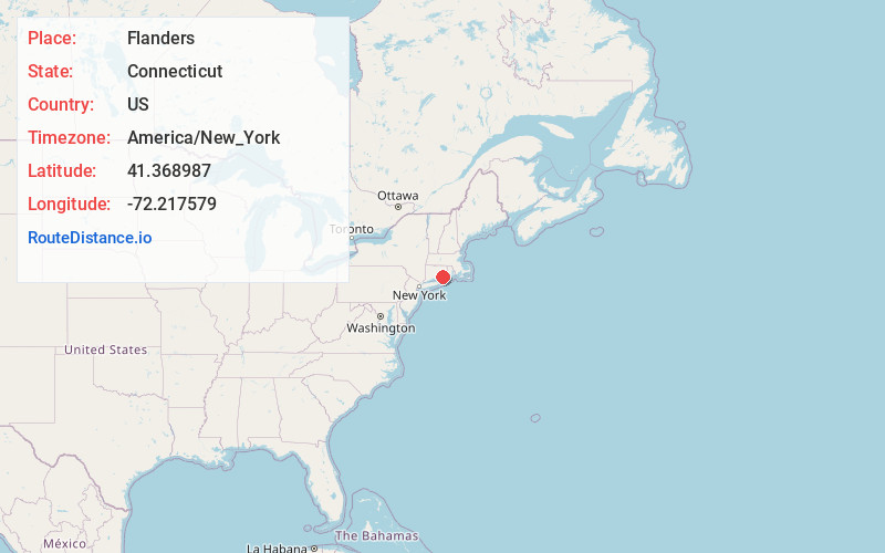
Full AddressFlanders, East Lyme, CT 06333
-
Coordinates41.3689867, -72.2175791
-
LocationEast Lyme , Connecticut , US
-
TimezoneAmerica/New_York
-
Current Local Time5:37:47 PM America/New_YorkFriday, June 13, 2025
-
Page Views0
Nearby Places
Found 10 places within 50 miles

New London
6.2 mi
10.0 km
New London, CT
Get directions

Deep River
11.4 mi
18.3 km
Deep River, CT
Get directions

Fishers Island
12.4 mi
20.0 km
Fishers Island, NY
Get directions

Norwich
13.0 mi
20.9 km
Norwich, CT
Get directions

Chester
13.9 mi
22.4 km
Chester, CT
Get directions

Quinebaug Falls
15.7 mi
25.3 km
Quinebaug Falls, Preston, CT 06365
Get directions

East Marion
17.9 mi
28.8 km
East Marion, NY 11939
Get directions

Westerly
20.2 mi
32.5 km
Westerly, RI
Get directions

Dering Harbor
20.2 mi
32.5 km
Dering Harbor, NY 11965
Get directions

Madison
20.7 mi
33.3 km
Madison, CT 06443
Get directions
Location Links
Local Weather
Weather Information
Coming soon!
Location Map
Static map view of Flanders, Connecticut
Browse Places by Distance
Places within specific distances from Flanders
Short Distances
Long Distances
Click any distance to see all places within that range from Flanders. Distances shown in miles (1 mile ≈ 1.61 kilometers).