Distance to Dering Harbor, New York

Calculating Your Route
Just a moment while we process your request...
Location Information
-
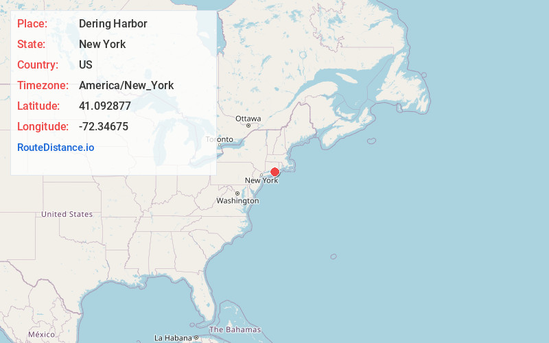
Full AddressDering Harbor, NY 11965
-
Coordinates41.092877, -72.3467497
-
LocationDering Harbor , New York , US
-
TimezoneAmerica/New_York
-
Current Local Time1:14:43 AM America/New_YorkFriday, June 20, 2025
-
Page Views0
About Dering Harbor
Dering Harbor is a village in the Town of Shelter Island, in Suffolk County, New York, United States. The population was 50 at the time of the 2020 census, making it the least populous village in the State of New York.


Nearby Places
Found 10 places within 50 miles

Shelter Island
1.8 mi
2.9 km
Shelter Island, NY
Get directions

East Marion
2.4 mi
3.9 km
East Marion, NY 11939
Get directions

Southold
4.6 mi
7.4 km
Southold, NY 11971
Get directions

North Haven
5.8 mi
9.3 km
North Haven, NY 11963
Get directions

Noyack
6.7 mi
10.8 km
Noyack, NY 11963
Get directions
Peconic
6.8 mi
10.9 km
Peconic, NY
Get directions

Sag Harbor
7.1 mi
11.4 km
Sag Harbor, NY 11963
Get directions

Cutchogue
9.2 mi
14.8 km
Cutchogue, NY
Get directions

Bridgehampton
11.0 mi
17.7 km
Bridgehampton, NY
Get directions

Springs
11.1 mi
17.9 km
Springs, NY 11937
Get directions
Location Links
Local Weather
Weather Information
Coming soon!
Location Map
Static map view of Dering Harbor, New York
Browse Places by Distance
Places within specific distances from Dering Harbor
Short Distances
Long Distances
Click any distance to see all places within that range from Dering Harbor. Distances shown in miles (1 mile ≈ 1.61 kilometers).