Distance to Shelter Island, New York

Calculating Your Route
Just a moment while we process your request...
Location Information
-
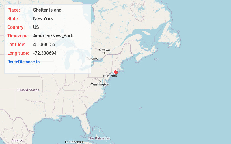
Full AddressShelter Island, NY
-
Coordinates41.0681549, -72.3386939
-
LocationShelter Island , New York , US
-
TimezoneAmerica/New_York
-
Current Local Time9:32:52 AM America/New_YorkTuesday, June 17, 2025
-
Page Views0
About Shelter Island
Shelter Island is an island town in eastern Suffolk County, New York, United States, near the eastern end of Long Island. The population was 3,253 at the time of the 2020 census.


Nearby Places
Found 10 places within 50 miles

Southold
4.6 mi
7.4 km
Southold, NY 11971
Get directions

Noyack
5.0 mi
8.0 km
Noyack, NY 11963
Get directions

Springs
10.0 mi
16.1 km
Springs, NY 11937
Get directions

North Sea
10.1 mi
16.3 km
North Sea, NY 11968
Get directions

East Hampton
10.8 mi
17.4 km
East Hampton, NY 11937
Get directions

Mattituck
11.5 mi
18.5 km
Mattituck, NY
Get directions

Southampton
13.0 mi
20.9 km
Southampton, NY
Get directions

Hampton Bays
16.6 mi
26.7 km
Hampton Bays, NY
Get directions

Flanders
18.5 mi
29.8 km
Flanders, NY
Get directions

Riverhead
19.8 mi
31.9 km
Riverhead, NY
Get directions
Location Links
Local Weather
Weather Information
Coming soon!
Location Map
Static map view of Shelter Island, New York
Browse Places by Distance
Places within specific distances from Shelter Island
Short Distances
Long Distances
Click any distance to see all places within that range from Shelter Island. Distances shown in miles (1 mile ≈ 1.61 kilometers).