Distance to Chestnut Hill, Pennsylvania

Calculating Your Route
Just a moment while we process your request...
Location Information
-
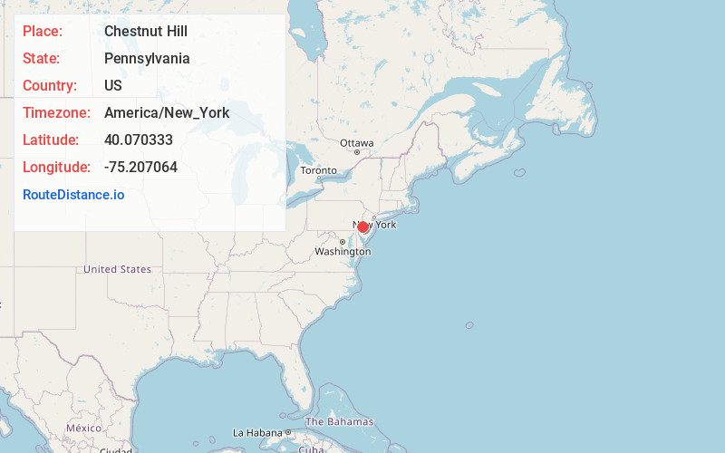
Full AddressChestnut Hill, Philadelphia, PA
-
Coordinates40.0703334, -75.2070644
-
NeighborhoodChestnut Hill
-
LocationPhiladelphia , Pennsylvania , US
-
TimezoneAmerica/New_York
-
Current Local Time10:41:25 AM America/New_YorkTuesday, June 3, 2025
-
Page Views0
About Chestnut Hill
Featuring leafy streets lined with stately historic mansions and Victorian townhouses, affluent Chestnut Hill is known as the city's garden district. Home to the Morris Arboretum and its canopy walkway, the neighborhood also draws literature fans and aspiring wizards to the Harry Potter Festival every October. Picturesque Germantown Avenue is lined with antiques shops, art galleries, tearooms and farmers' markets.


Nearby Places
Found 10 places within 50 miles

Glenside
3.5 mi
5.6 km
Glenside, PA
Get directions

Whitemarsh Township
3.7 mi
6.0 km
Whitemarsh Township, PA
Get directions

Cheltenham Township
3.8 mi
6.1 km
Cheltenham Township, PA
Get directions

Bala Cynwyd
4.1 mi
6.6 km
Bala Cynwyd, PA
Get directions

Elkins Park
4.3 mi
6.9 km
Elkins Park, PA
Get directions

Lower Merion Township
5.1 mi
8.2 km
Lower Merion Township, PA
Get directions

Roslyn
5.7 mi
9.2 km
Roslyn, PA
Get directions

Upper Dublin Township
5.8 mi
9.3 km
Upper Dublin Township, PA
Get directions

Ambler
5.9 mi
9.5 km
Ambler, PA 19002
Get directions

Abington Township
6.0 mi
9.7 km
Abington Township, PA
Get directions
Location Links
Local Weather
Weather Information
Coming soon!
Location Map
Static map view of Chestnut Hill, Pennsylvania
Browse Places by Distance
Places within specific distances from Chestnut Hill
Short Distances
Long Distances
Click any distance to see all places within that range from Chestnut Hill. Distances shown in miles (1 mile ≈ 1.61 kilometers).