Distance to Upper Dublin Township, Pennsylvania

Calculating Your Route
Just a moment while we process your request...
Location Information
-
Full AddressUpper Dublin Township, PA
-
Coordinates40.1532684, -75.1895576
-
LocationUpper Dublin Township , Pennsylvania , US
-
TimezoneAmerica/New_York
-
Current Local Time1:57:52 AM America/New_YorkWednesday, June 18, 2025
-
Page Views0
About Upper Dublin Township
Upper Dublin Township is a township in Montgomery County, Pennsylvania, United States. The population was 25,569 at the 2010 census. Until the 1950s, Upper Dublin was mostly farmland and open space, but transitioned to a residential suburb during the postwar population boom.


Nearby Places
Found 10 places within 50 miles

Abington Township
4.3 mi
6.9 km
Abington Township, PA
Get directions

Warminster Township
5.7 mi
9.2 km
Warminster Township, PA 18974
Get directions

Cheltenham Township
5.7 mi
9.2 km
Cheltenham Township, PA
Get directions

Norristown
8.2 mi
13.2 km
Norristown, PA
Get directions

Upper Merion Township
10.0 mi
16.1 km
Upper Merion Township, PA
Get directions

Lower Merion Township
10.1 mi
16.3 km
Lower Merion Township, PA
Get directions
Radnor
11.7 mi
18.8 km
Radnor, PA 19087
Get directions

Haverford
11.7 mi
18.8 km
Haverford, PA
Get directions

Philadelphia
13.9 mi
22.4 km
Philadelphia, PA
Get directions

Tredyffrin Township
14.2 mi
22.9 km
Tredyffrin Township, PA
Get directions
Location Links
Local Weather
Weather Information
Coming soon!
Location Map
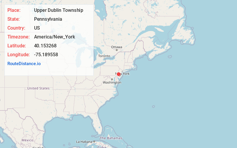
Static map view of Upper Dublin Township, Pennsylvania
Browse Places by Distance
Places within specific distances from Upper Dublin Township
Short Distances
Long Distances
Click any distance to see all places within that range from Upper Dublin Township. Distances shown in miles (1 mile ≈ 1.61 kilometers).