Distance to Chestnut Mountain, Georgia

Calculating Your Route
Just a moment while we process your request...
Location Information
-
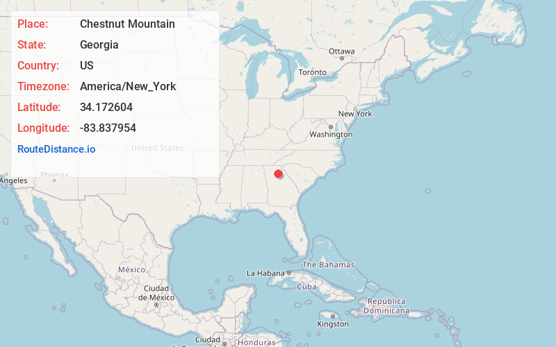
Full AddressChestnut Mountain, GA 30542
-
Coordinates34.1726039, -83.8379544
-
LocationChestnut Mountain , Georgia , US
-
TimezoneAmerica/New_York
-
Current Local Time9:50:44 PM America/New_YorkTuesday, June 3, 2025
-
Page Views0
About Chestnut Mountain
Chestnut Mountain is an unincorporated community in Hall County, Georgia, United States. The community is located along Georgia State Route 53, 8.7 miles south of Gainesville.
The community was named after J. T. Chestnut, a pioneer citizen.
Nearby Places
Found 10 places within 50 miles

Tanner Mill
3.0 mi
4.8 km
Tanner Mill, GA 30507
Get directions
Candler
4.2 mi
6.8 km
Candler, GA 30507
Get directions
Belmont
4.5 mi
7.2 km
Belmont, GA 30507
Get directions

Oakwood
4.6 mi
7.4 km
Oakwood, GA
Get directions

Flowery Branch
5.1 mi
8.2 km
Flowery Branch, GA
Get directions
Chicopee
5.6 mi
9.0 km
Chicopee, GA 30504
Get directions

Braselton
6.1 mi
9.8 km
Braselton, GA
Get directions

Talmo
6.8 mi
10.9 km
Talmo, GA
Get directions

Hoschton
6.8 mi
10.9 km
Hoschton, GA 30548
Get directions
Westside
7.1 mi
11.4 km
Westside, GA 30501
Get directions
Location Links
Local Weather
Weather Information
Coming soon!
Location Map
Static map view of Chestnut Mountain, Georgia
Browse Places by Distance
Places within specific distances from Chestnut Mountain
Short Distances
Long Distances
Click any distance to see all places within that range from Chestnut Mountain. Distances shown in miles (1 mile ≈ 1.61 kilometers).