Distance to Cheviot, Ohio

Calculating Your Route
Just a moment while we process your request...
Location Information
-
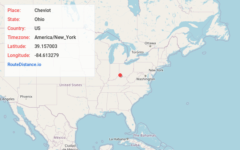
Full AddressCheviot, OH 45211
-
Coordinates39.1570028, -84.6132787
-
LocationCheviot , Ohio , US
-
TimezoneAmerica/New_York
-
Current Local Time6:47:07 PM America/New_YorkFriday, June 20, 2025
-
Page Views0
About Cheviot
Cheviot is a city in west-central Hamilton County, Ohio, United States. It is a suburb of Cincinnati. The population was 8,658 at the 2020 census.


Nearby Places
Found 10 places within 50 miles

Bridgetown North
1.1 mi
1.8 km
Bridgetown North, OH
Get directions

Monfort Heights
1.2 mi
1.9 km
Monfort Heights, OH
Get directions

Dent
2.9 mi
4.7 km
Dent, OH
Get directions
Mack
3.0 mi
4.8 km
Mack, OH
Get directions

White Oak
3.9 mi
6.3 km
White Oak, OH
Get directions

North College Hill
5.4 mi
8.7 km
North College Hill, OH
Get directions
Northbrook
6.4 mi
10.3 km
Northbrook, OH
Get directions

Cincinnati
6.6 mi
10.6 km
Cincinnati, OH
Get directions

Finneytown
6.7 mi
10.8 km
Finneytown, OH
Get directions
Francisville
7.1 mi
11.4 km
Francisville, KY 41048
Get directions
Location Links
Local Weather
Weather Information
Coming soon!
Location Map
Static map view of Cheviot, Ohio
Browse Places by Distance
Places within specific distances from Cheviot
Short Distances
Long Distances
Click any distance to see all places within that range from Cheviot. Distances shown in miles (1 mile ≈ 1.61 kilometers).