Distance to Chewalla, Tennessee

Calculating Your Route
Just a moment while we process your request...
Location Information
-
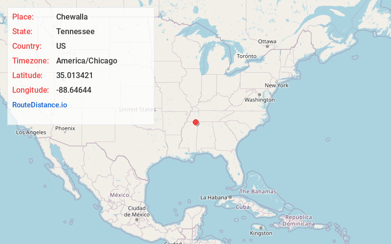
Full AddressChewalla, TN 38367
-
Coordinates35.0134206, -88.6464395
-
LocationChewalla , Tennessee , US
-
TimezoneAmerica/Chicago
-
Current Local Time3:58:57 PM America/ChicagoSaturday, May 24, 2025
-
Page Views0
About Chewalla
Chewalla is an unincorporated community in McNairy County, Tennessee, United States. Chewalla is located on Tennessee State Route 234 and the Norfolk Southern Railway 4.1 miles south-southwest of Ramer. Chewalla has a post office with ZIP code 38393.
Chewalla had its start when the railroad was extended to that point.


Nearby Places
Found 10 places within 50 miles

Ramer
4.1 mi
6.6 km
Ramer, TN 38367
Get directions

Guys
5.2 mi
8.4 km
Guys, TN
Get directions

Eastview
7.2 mi
11.6 km
Eastview, TN
Get directions

Corinth
8.9 mi
14.3 km
Corinth, MS 38834
Get directions

Pocahontas
9.3 mi
15.0 km
Pocahontas, TN 38061
Get directions
Kossuth
9.8 mi
15.8 km
Kossuth, MS 38834
Get directions

Selmer
11.2 mi
18.0 km
Selmer, TN 38375
Get directions
Farmington
12.1 mi
19.5 km
Farmington, MS 38834
Get directions
Michie
12.3 mi
19.8 km
Michie, TN 38357
Get directions

Middleton
14.3 mi
23.0 km
Middleton, TN 38052
Get directions
Location Links
Local Weather
Weather Information
Coming soon!
Location Map
Static map view of Chewalla, Tennessee
Browse Places by Distance
Places within specific distances from Chewalla
Short Distances
Long Distances
Click any distance to see all places within that range from Chewalla. Distances shown in miles (1 mile ≈ 1.61 kilometers).