Distance to Cheyenne, Oklahoma

Calculating Your Route
Just a moment while we process your request...
Location Information
-
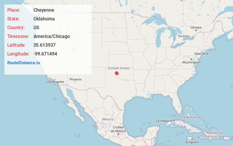
Full AddressCheyenne, OK 73628
-
Coordinates35.6139371, -99.6714939
-
LocationCheyenne , Oklahoma , US
-
TimezoneAmerica/Chicago
-
Current Local Time2:54:50 AM America/ChicagoWednesday, June 18, 2025
-
Page Views0
About Cheyenne
Cheyenne is a town in Roger Mills County, Oklahoma, United States. As of the 2020 census, the town's population was 771. It is the county seat of Roger Mills County.


Nearby Places
Found 10 places within 50 miles

Elk City
20.5 mi
33.0 km
Elk City, OK
Get directions

Sayre
22.4 mi
36.0 km
Sayre, OK 73662
Get directions

Burns Flat
33.6 mi
54.1 km
Burns Flat, OK 73647
Get directions

Wheeler
35.7 mi
57.5 km
Wheeler, TX 79096
Get directions

Clinton
40.2 mi
64.7 km
Clinton, OK
Get directions

Sentinel
42.1 mi
67.8 km
Sentinel, OK 73664
Get directions

Shamrock
42.7 mi
68.7 km
Shamrock, TX 79079
Get directions

New Cordell
44.5 mi
71.6 km
New Cordell, OK 73632
Get directions

Canadian
44.9 mi
72.3 km
Canadian, TX 79014
Get directions

Shattuck
47.2 mi
76.0 km
Shattuck, OK 73858
Get directions
Location Links
Local Weather
Weather Information
Coming soon!
Location Map
Static map view of Cheyenne, Oklahoma
Browse Places by Distance
Places within specific distances from Cheyenne
Short Distances
Long Distances
Click any distance to see all places within that range from Cheyenne. Distances shown in miles (1 mile ≈ 1.61 kilometers).