Distance to Cheyenne County, Kansas

Calculating Your Route
Just a moment while we process your request...
Location Information
-
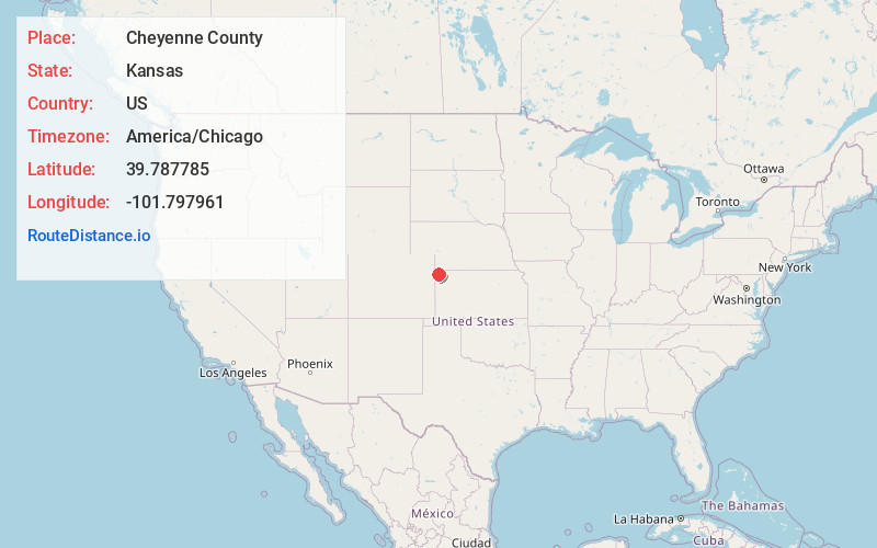
Full AddressCheyenne County, KS
-
Coordinates39.7877848, -101.7979613
-
LocationKansas , US
-
TimezoneAmerica/Chicago
-
Current Local Time12:59:16 PM America/ChicagoThursday, June 5, 2025
-
Page Views0
About Cheyenne County
Cheyenne County is a county located in the northwestern corner of the U.S. state of Kansas. Its county seat and most populous city is St. Francis. As of the 2020 census, the county population was 2,616.
The county was named after the Cheyenne tribe.

Nearby Places
Found 10 places within 50 miles

St Francis
1.0 mi
1.6 km
St Francis, KS 67756
Get directions
Bird City
14.3 mi
23.0 km
Bird City, KS 67731
Get directions

Haigler
17.3 mi
27.8 km
Haigler, NE 69030
Get directions

Parks
18.0 mi
29.0 km
Parks, NE
Get directions
Sanborn
21.8 mi
35.1 km
Sanborn, NE 69030
Get directions

McDonald
22.7 mi
36.5 km
McDonald, KS 67745
Get directions

Benkelman
22.8 mi
36.7 km
Benkelman, NE 69021
Get directions
Laird
25.9 mi
41.7 km
Laird, CO 80758
Get directions
Idalia
27.0 mi
43.5 km
Idalia, CO 80735
Get directions
Vernon
29.6 mi
47.6 km
Vernon, CO
Get directions
Location Links
Local Weather
Weather Information
Coming soon!
Location Map
Static map view of Cheyenne County, Kansas
Browse Places by Distance
Places within specific distances from Cheyenne County
Short Distances
Long Distances
Click any distance to see all places within that range from Cheyenne County. Distances shown in miles (1 mile ≈ 1.61 kilometers).