Distance to Chili, Wisconsin

Calculating Your Route
Just a moment while we process your request...
Location Information
-
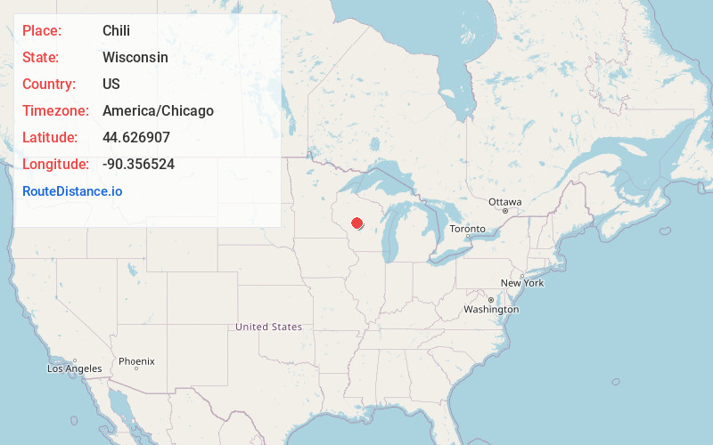
Full AddressChili, WI 54420
-
Coordinates44.6269074, -90.3565238
-
LocationChili , Wisconsin , US
-
TimezoneAmerica/Chicago
-
Current Local Time8:41:18 PM America/ChicagoSaturday, June 21, 2025
-
Page Views0
About Chili
Chili is an unincorporated census-designated place in the Town of Fremont in Clark County, Wisconsin, United States. Chili is west-southwest of Marshfield. Chili has a post office with ZIP code 54420. As of the 2010 census, its population was 226.

Nearby Places
Found 10 places within 50 miles

Granton
5.8 mi
9.3 km
Granton, WI 54436
Get directions

Spencer
9.5 mi
15.3 km
Spencer, WI
Get directions

Marshfield
9.5 mi
15.3 km
Marshfield, WI
Get directions

Loyal
10.2 mi
16.4 km
Loyal, WI 54446
Get directions

Hewitt
12.7 mi
20.4 km
Hewitt, WI
Get directions

Neillsville
12.7 mi
20.4 km
Neillsville, WI 54456
Get directions

Greenwood
15.5 mi
24.9 km
Greenwood, WI 54437
Get directions

Unity
15.7 mi
25.3 km
Unity, WI 54488
Get directions
Auburndale
17.2 mi
27.7 km
Auburndale, WI 54412
Get directions

Pittsville
17.3 mi
27.8 km
Pittsville, WI 54466
Get directions
Location Links
Local Weather
Weather Information
Coming soon!
Location Map
Static map view of Chili, Wisconsin
Browse Places by Distance
Places within specific distances from Chili
Short Distances
Long Distances
Click any distance to see all places within that range from Chili. Distances shown in miles (1 mile ≈ 1.61 kilometers).